Cotoni-Coast Dairies National Monument
No Comments
In the early 2010s, I heard about a campaign to establish Cotoni-Coast Dairies National Monument. I was immediately intrigued. The land, located north of Santa Cruz and south of Davenport, would potentially become the national monument closest to my home in San Jose, CA. The conservationists, led by the Sempervirens Fund achieved their goal in early 2017, but it was only last week that I got the opportunity to set foot on Cotoni-Coast Dairies. Still, it was a “preview” well ahead of the official opening to the public planned for next summer.
There is actually no Cotoni-Coast Dairies National Monument. Part of the actions taken on the last week of his presidency, the Jan 12, 2017 proclamation by President Obama did not establish Cotoni-Coast Dairies as a new national monument, but instead an inland expansion of the California Coastal National Monument. Maybe America’s most odd unit of protected land, the California Coastal National Monument is a paradox. Scores of people see it every day, likely more than any other parkland in California, yet it is unknown to most people. Virtually none of the people who see it ever set foot on its lands. Although spread out over more than 10,000 square miles, as proclaimed by President Clinton on Jan 11, 2000, the California Coastal National Monument totaled only 600 acres of land, less than one square mile. All of this is because as the monument extended for 12 nautical miles along the entire 840-mile California coastline but includes only the islets and rocks above mean high tide within that large area. On March 11, 2014, President Obama had added 1,665 acres of onshore lands to the California Coastal National Monument, but the 5,800 acres from the Cotoni-Coast Dairies are by far the largest onshore additions.
The lands were once inhabited by Indigenous Peoples known as the Cotoni (pronounced Cho-toe-knee), part of the Ohlone of the larger SF Bay Area, and then exploited by the Coast Dairies and Land Company, a Swiss dairy operation, hence the name. After farming activities ceased, a nuclear power plant and later a luxury home development were considered, but fortunately those projects did not succeed. Eventually, the Trust for Public Land acquired the property. They transferred the 407 coastal acres west of Highway 1 to California State Parks, who manages them as an extension of Wilder Ranch State Park, and the 5,800 inland acres east of Highway 1 to the Bureau of Land Management (BLM).
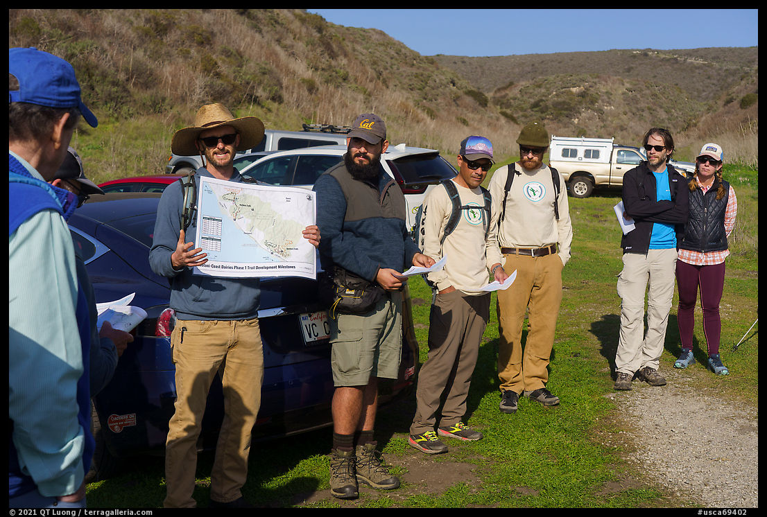
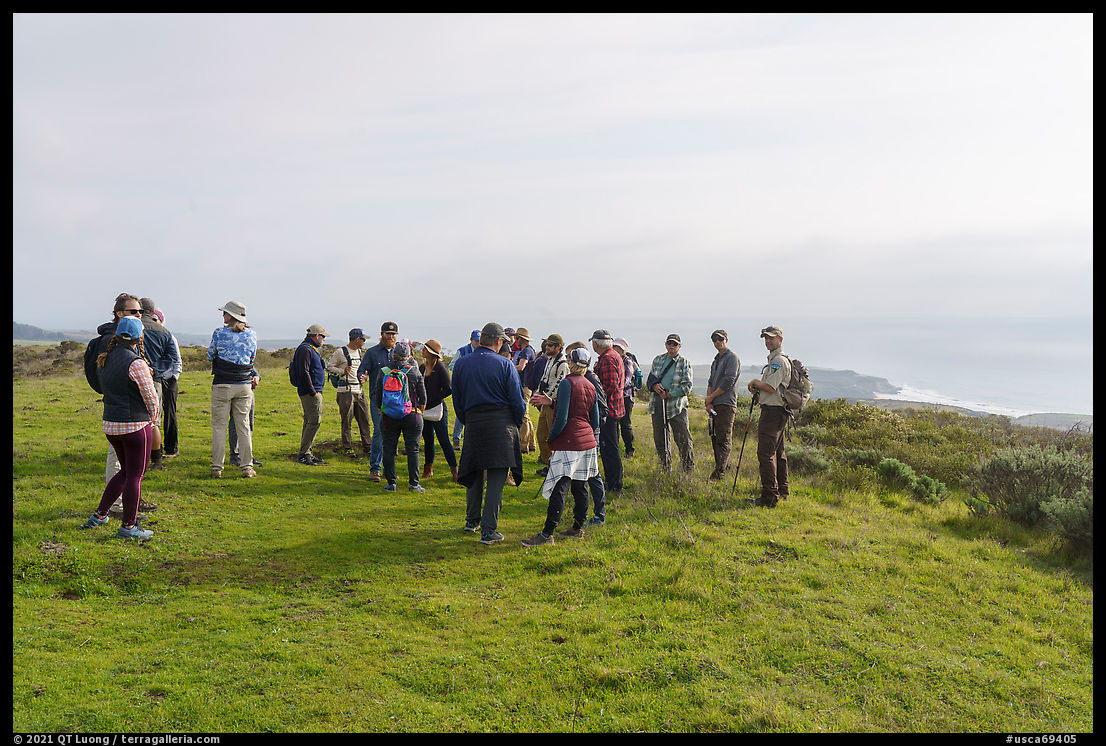
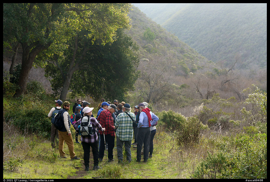
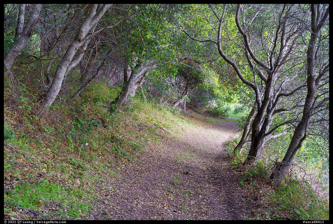
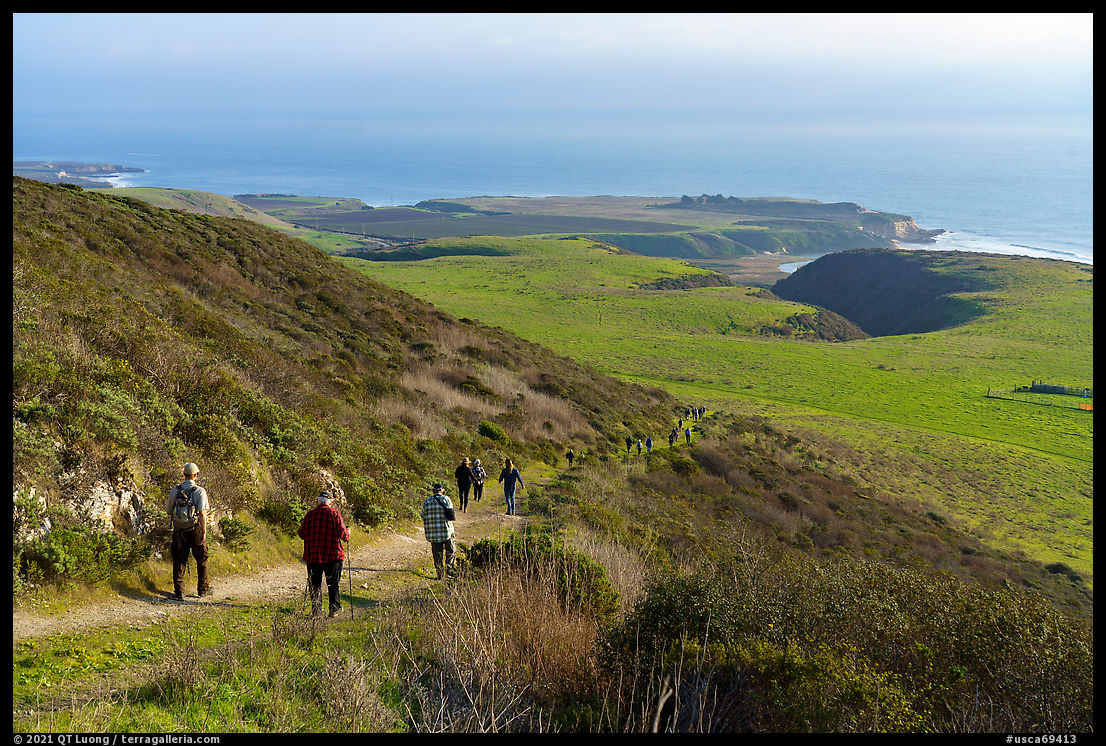
I am thankful for the invitation to the guided hike, which was organized by the Conservation Lands Fundation (CLF) and led by representatives of the two of its Friends Grassroots Network organizations, the Amah Mutsun Land Trust and the Santa Cruz Mountain Trails Association. The later organization had broken ground for the trails on the same week. They expect to be able to open trails to the public by the summer of 2022. The process of planning and obtaining approval from all parties is much more lengthy than the trail building itself. From what I have seen, it will be well worth the wait. I learned from the former organization about the land’s native heritage, its human-impacted ecology, and the field methods being used to make an archeological inventory. So far, ground samples were made at 2,500 locations. About 10% of them yielded artifacts, but don’t expect them to be arrowheads or pottery shards, they are mostly traces of human occupation like shellfish. The Amah Mutsun Tribal Band are the descendants of the Ohlone. Due to the infamous SF Bay Area costs they now live far away, but the Amah Mutsun Land Trust hopes to involve them in all aspects of the monument development.
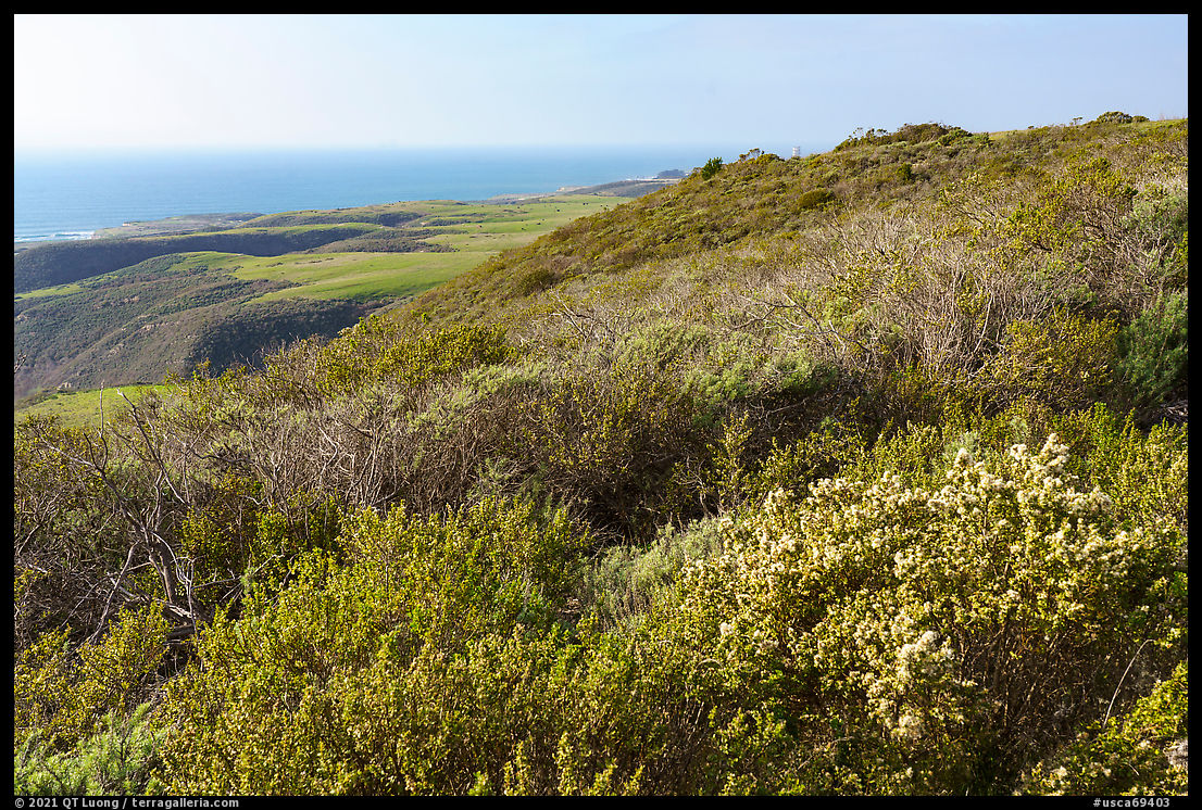
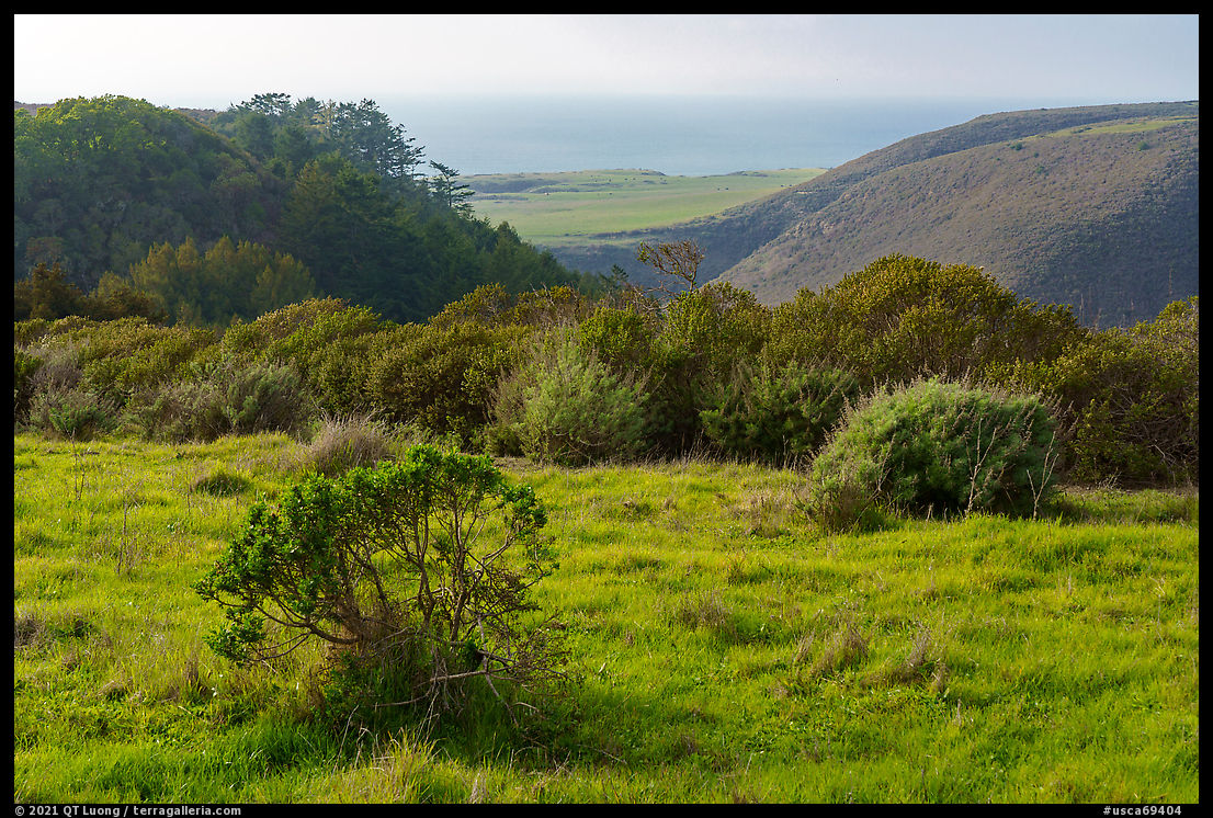
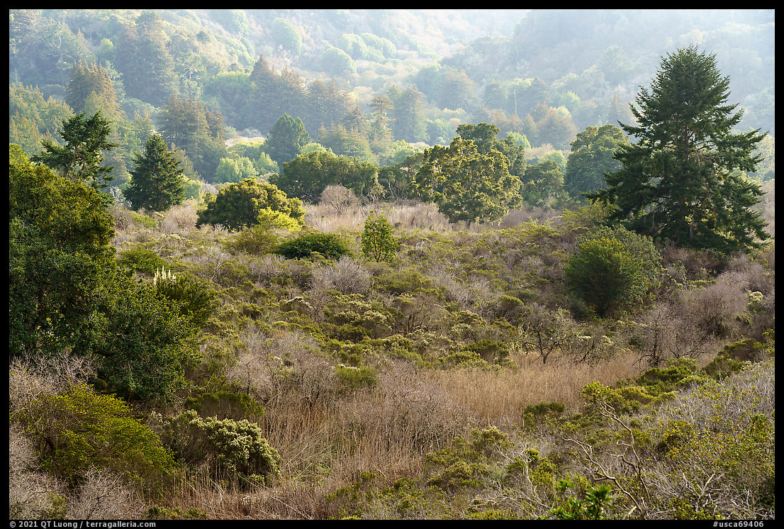
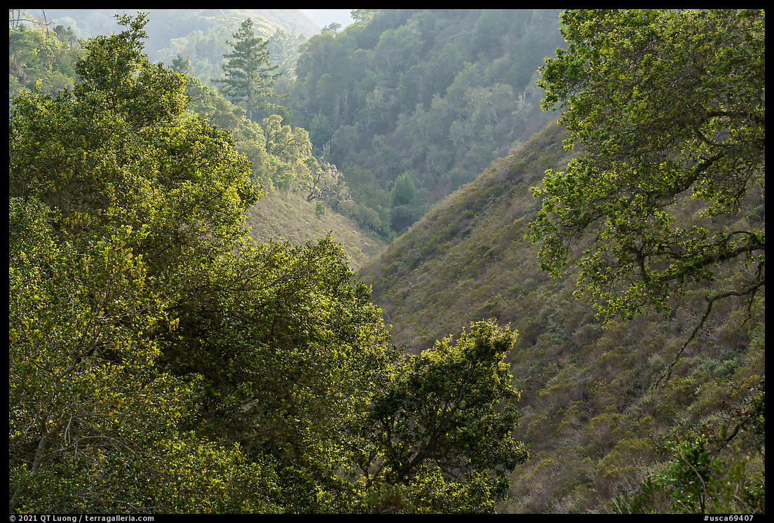
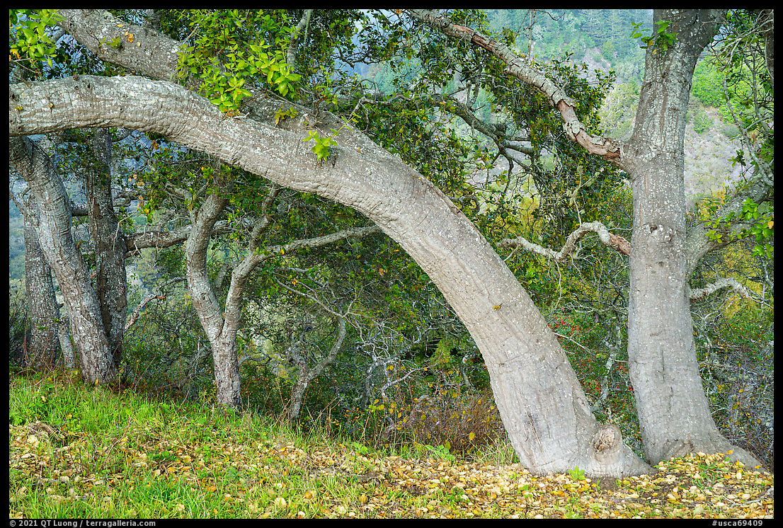
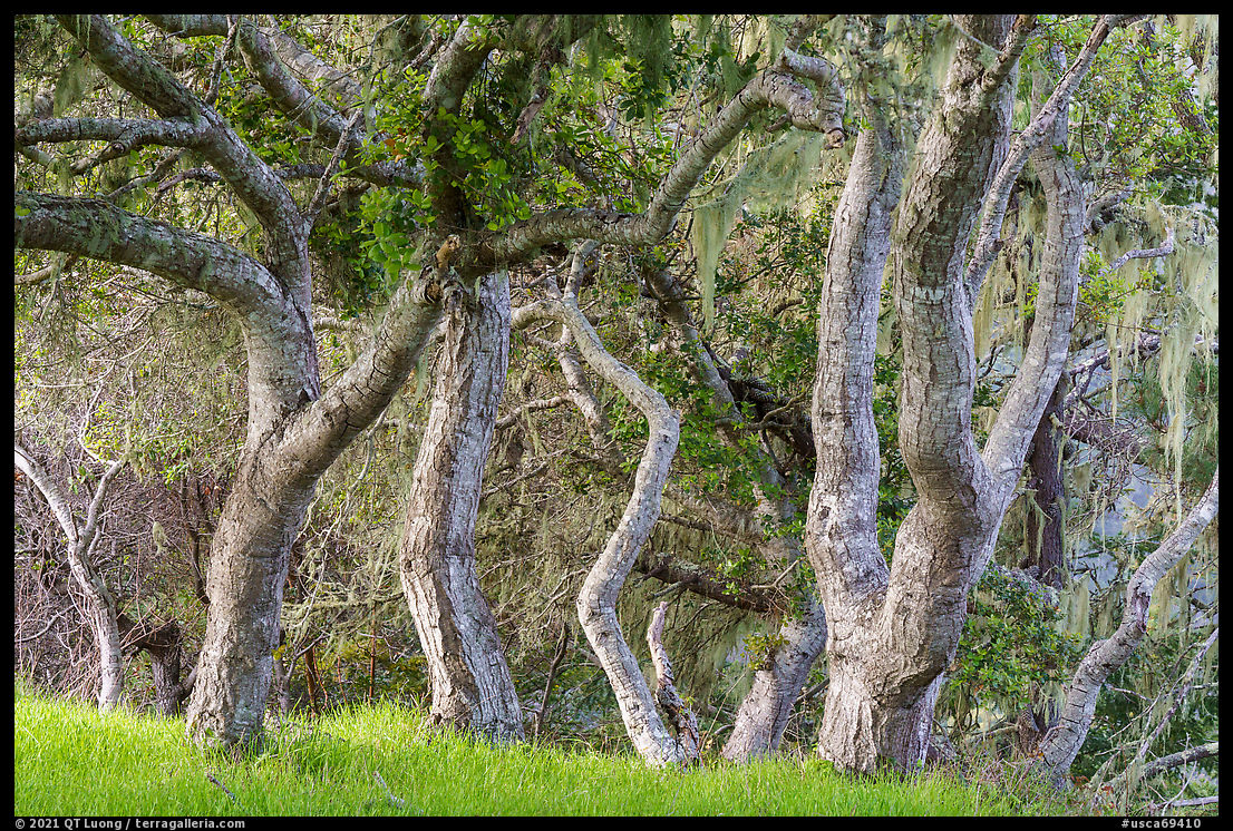
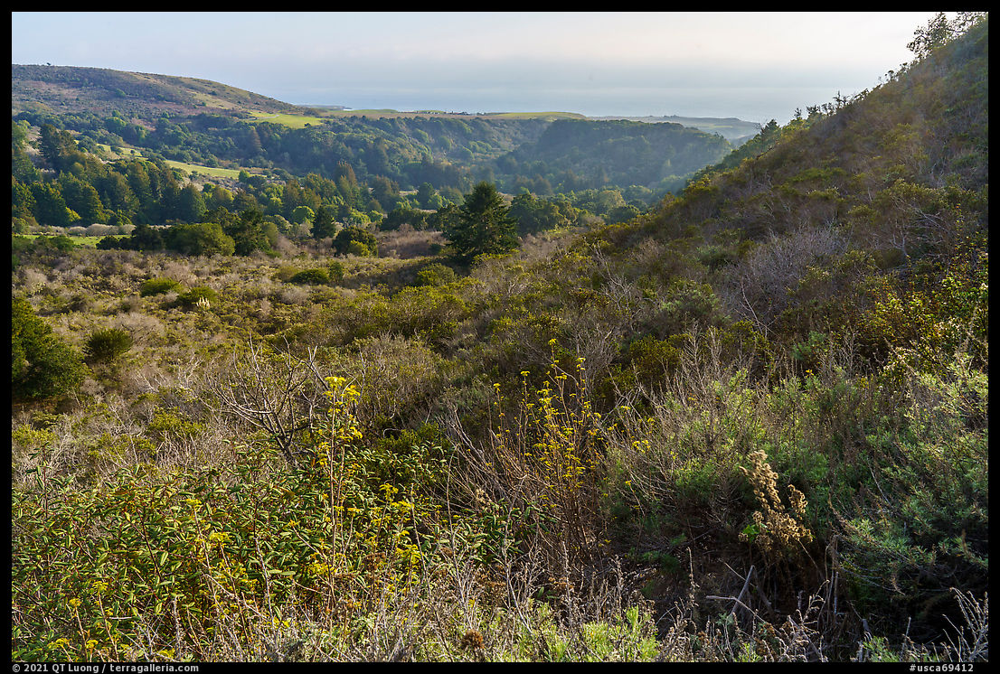
The lands consist of a mix of grassy coastal terraces and forested hills cut by steep river-carved canyons. Due to prior land use, both by Indigenous Peoples who conducted controlled burns, and then the farming operations, the area is more open than its neighbors, offering great ocean views, especially from the edge of the terraces. By contrast, the canyons presented lush vegetation, dominated by live coast oaks, whereas the hills further inland are home to redwood trees. It all adds up to a fascinating mosaic in a small area (9 square miles).
The hike lasted just two hours. Noticing that I had my camera out, other participants often asked if I got good pictures. Given that we started at midday, that walking, listening to the informative commentary from the various representatives, chatting with them, with friendly CLF staff and other invitees did not leave much time for photography, all I could say was “we will see”. You are seeing them now, as those photographs illustrate this account. I hope that despite the hasty circumstances, they still inspire some to discover this new gem for themselves. I cannot wait for the official opening and will be back.