Fotopedia National Parks App for iPad and iPhone with QT Luong photos
The application functions like an almost unlimited coffee-table book, showcasing images in an attractive format, with many smart features including tags, interactive maps, descriptions, favorites, and suggestions, all taking advantage of the new capacities of the Apple mobile devices.
As there are more than 900 UNESCO World Heritage Sites in 150 countries, the collaboration mechanisms of Fotopedia allowed to gather more than 25,000 images, selected collectively by the Fotopedia community. The exceptional breath of the collection had the flipside that the quality of the photography was not always consistent, despite a great curating effort. This was because the curators had to pick exclusively from Creative Commons images with no restrictions, mostly by amateur photographers, either contributed directly to Fotopedia or imported from other photo sharing sites such as Flickr.
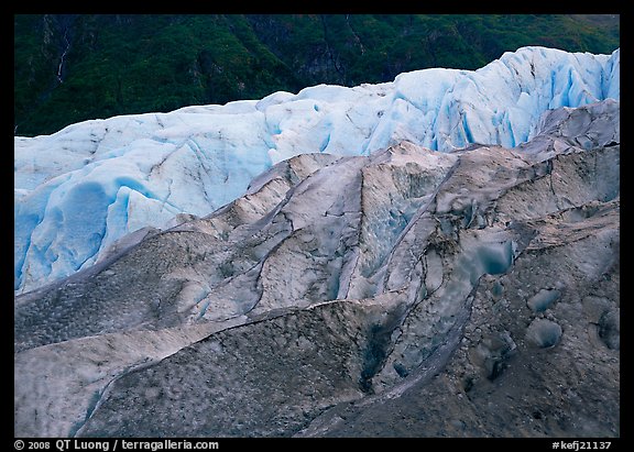
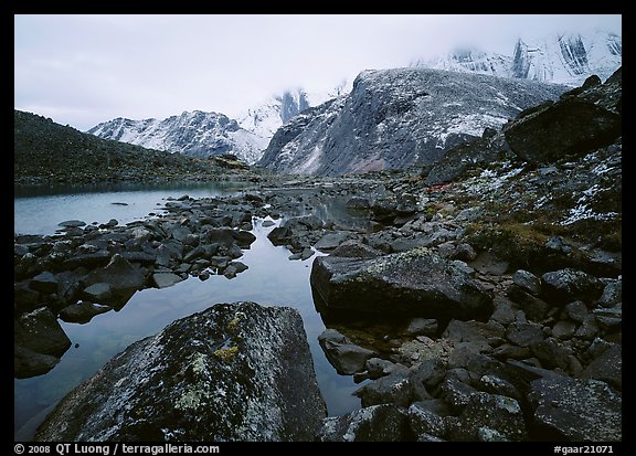
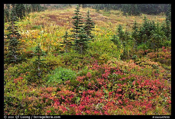
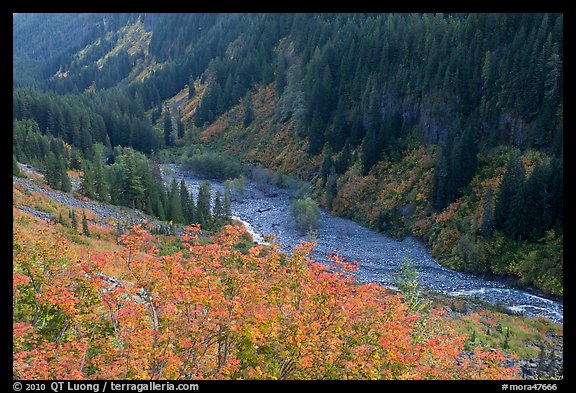
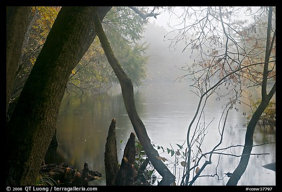
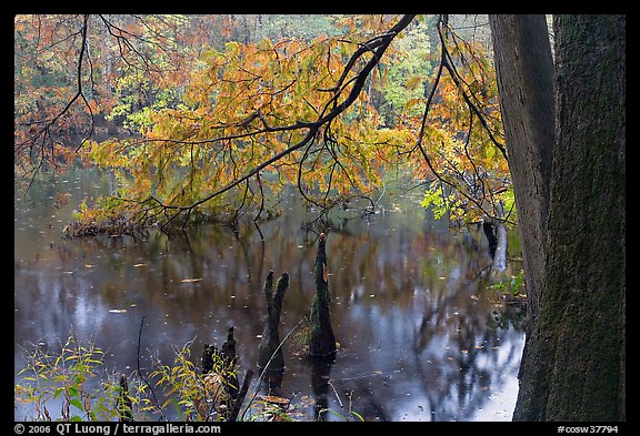
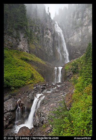
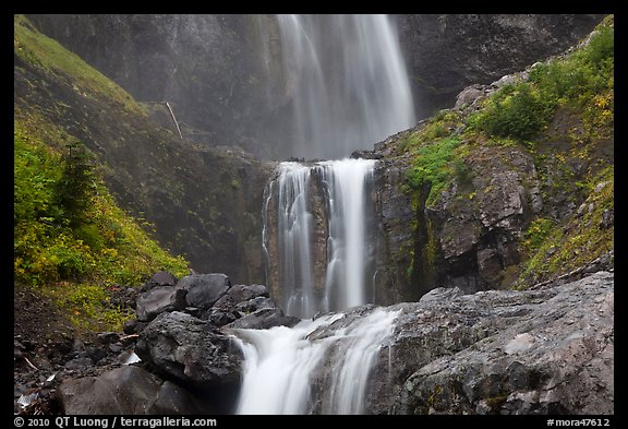
This winter, Fotopedia has released its second application, Fotopedia National Parks, a electronic photo book of US National Parks. The format is the same as Fotopedia Heritage, but unlike it, Fotopedia National Parks uses images from only one photographer: me.
I am very pleased and honored that Fotopedia has chosen to showcase my work in their first “Pro” App – a paid ($4.99) application featuring professional photography. As readers of this blog are familiar with my work in the National Parks, I will not discuss it.
Instead, I will point out to reasons why the application Fotopedia National Parks is worth having, even though the same images are publicly available for free viewing on this website.
First, the application is a great way to view images:
- The photographs are presented in much higher resolution (1024 pix) than by default on the website (550 pix). They are full page, with a simple tap hiding or showing the information. Because of their size, the application needs a internet connection (storing all images would be prohibitive in terms of file size), but I have found it to load fast.
- The touch screen interface is much nicer than the web navigation using arrows. It is similar to the native iPad/iPod/iPhone photo albums, that everybody in my family, from my 5 year old son to my 80+ year old auntie in Vietnam found intuitive and fun to browse.
- Computer screens can vary in quality and suffer from bad calibration, whereas the Ipad screen shows vibrant colors in a way which is the same for each device.
- Since this is a book rather than an image catalog, images have been edited for redundancy, so you do not see variations of the same image (for instance a horizontal and a vertical).
- The photographs are keyed to a Google-style interactive map which makes it easy to explore by location. That map benefits from the superb touch screen interface which allows you to pan, zoom in and out with your fingers. Moreover, it shows you different markers depending on your level of detail. Look at the US map from a higher level to see where each park is located. Zoom in or call the map from a lower level and see the area where each photo was taken within a park.
- Several features such as favorites, suggestions, and counter make it a breeze to keep track of destinations.
- The application includes the ability to easily set images as wallpaper (something for which a $25 subscription is required for a computer, using a more complex mechanism, although it gives access to more images in a variety of resolutions), and share images.
- Images can be viewed in a slide-show mode.
- A short, but informative introduction to each park is provided.