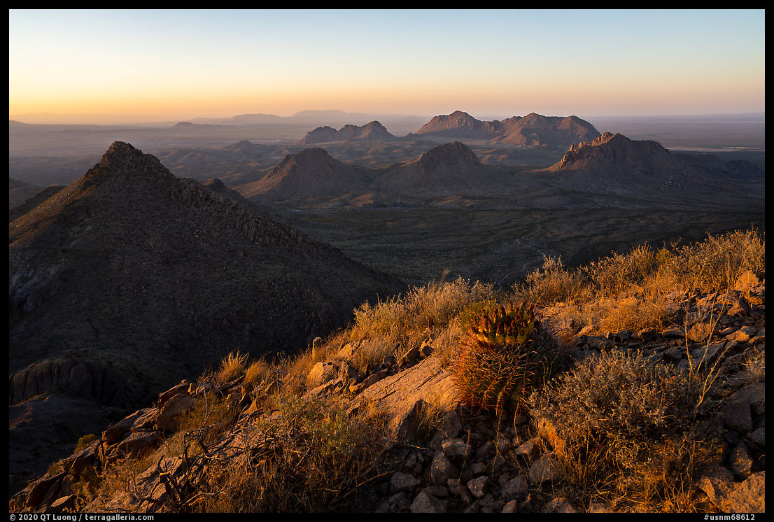
Mount Logan: The top of the Grand Canyon ecosystem
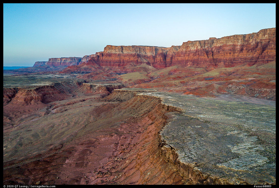
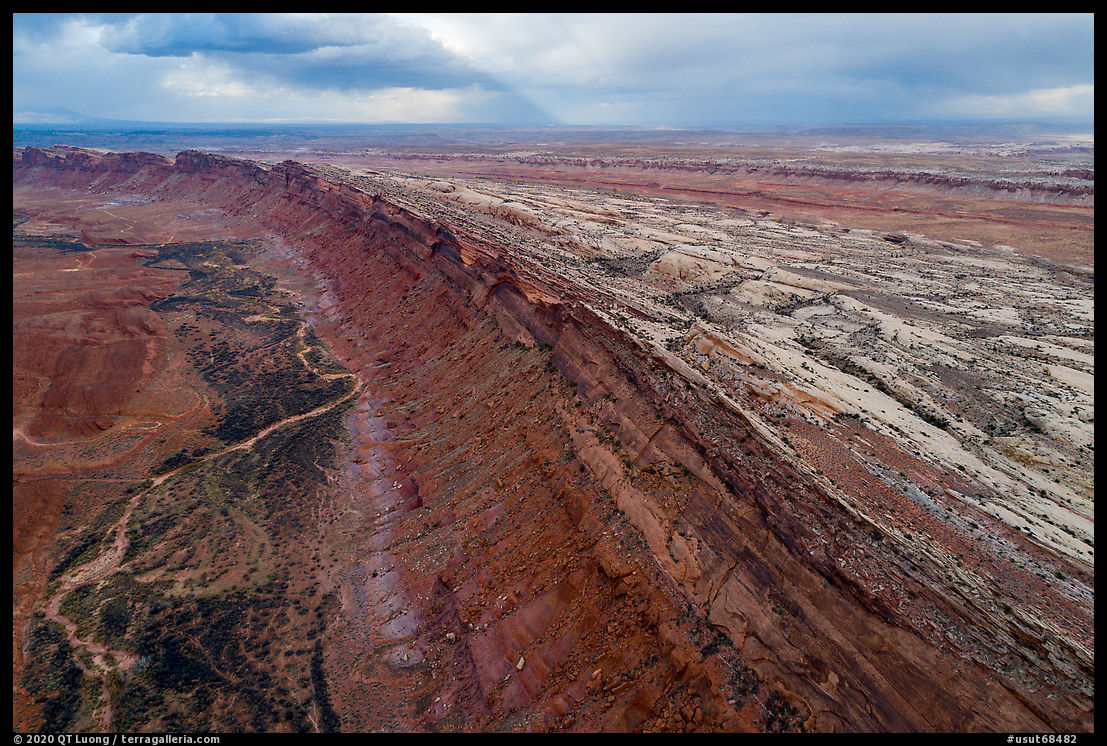
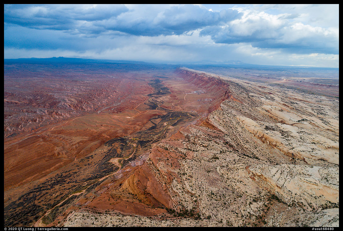
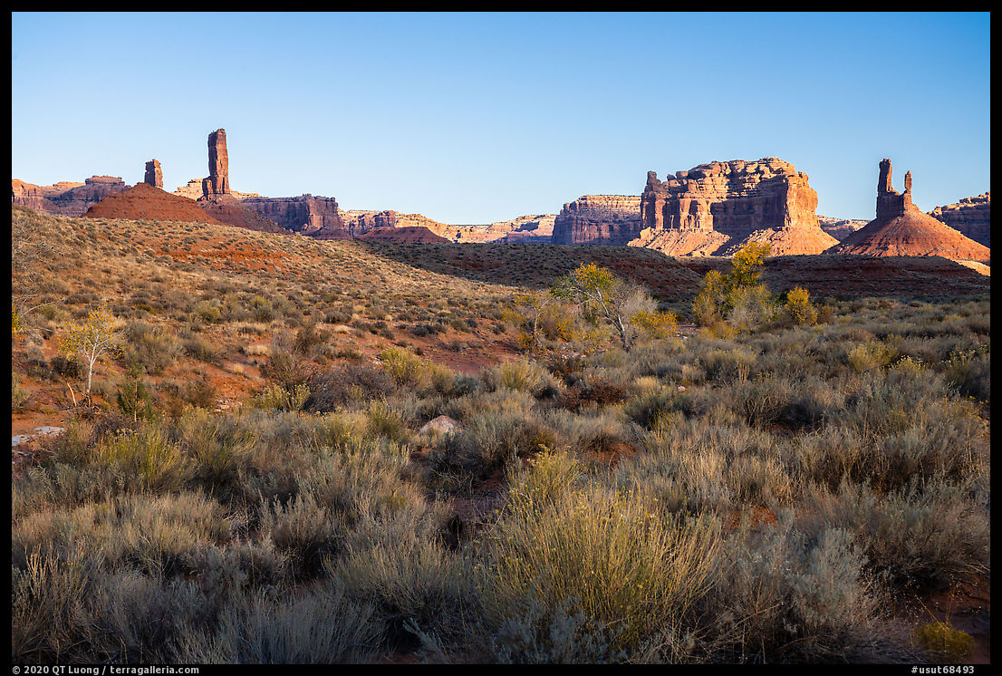
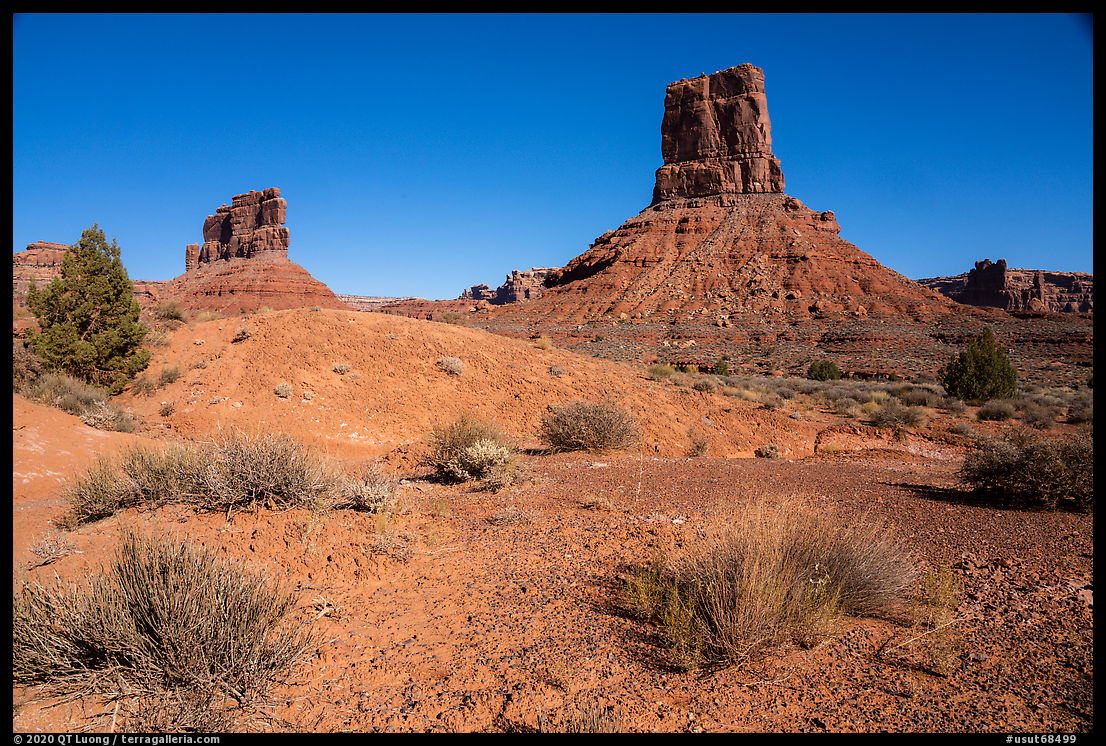
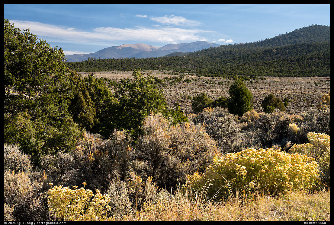
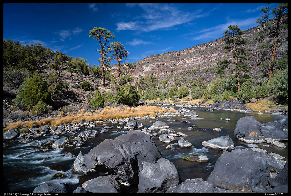
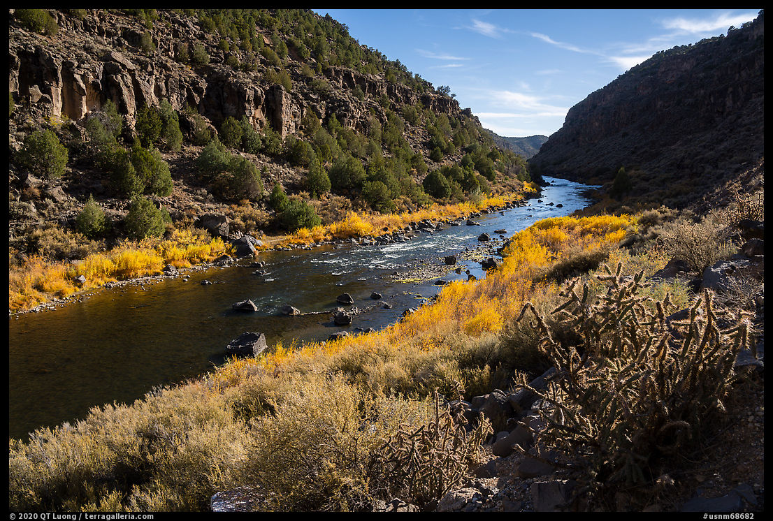
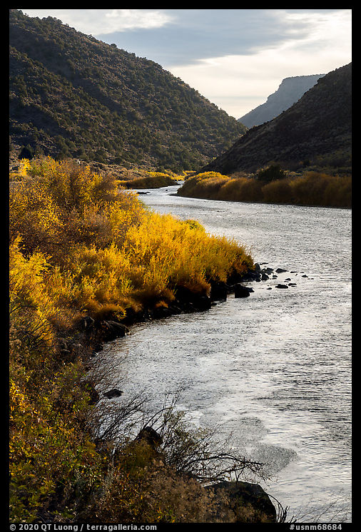
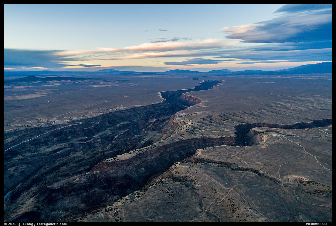
Grand Canyon National Park sees crowds of 5 million visitors per year, but its unknown neighbor, Grand Canyon-Parashant National Monument, is a place of solitude. Protecting the entire Grand Canyon watershed, the monument extends from the North Rim of the Grand Canyon to forested mountains 8,000 feet high.
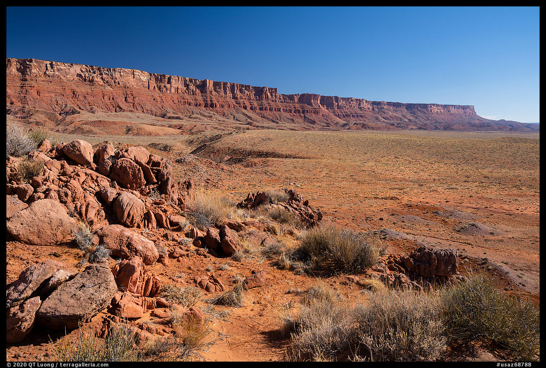
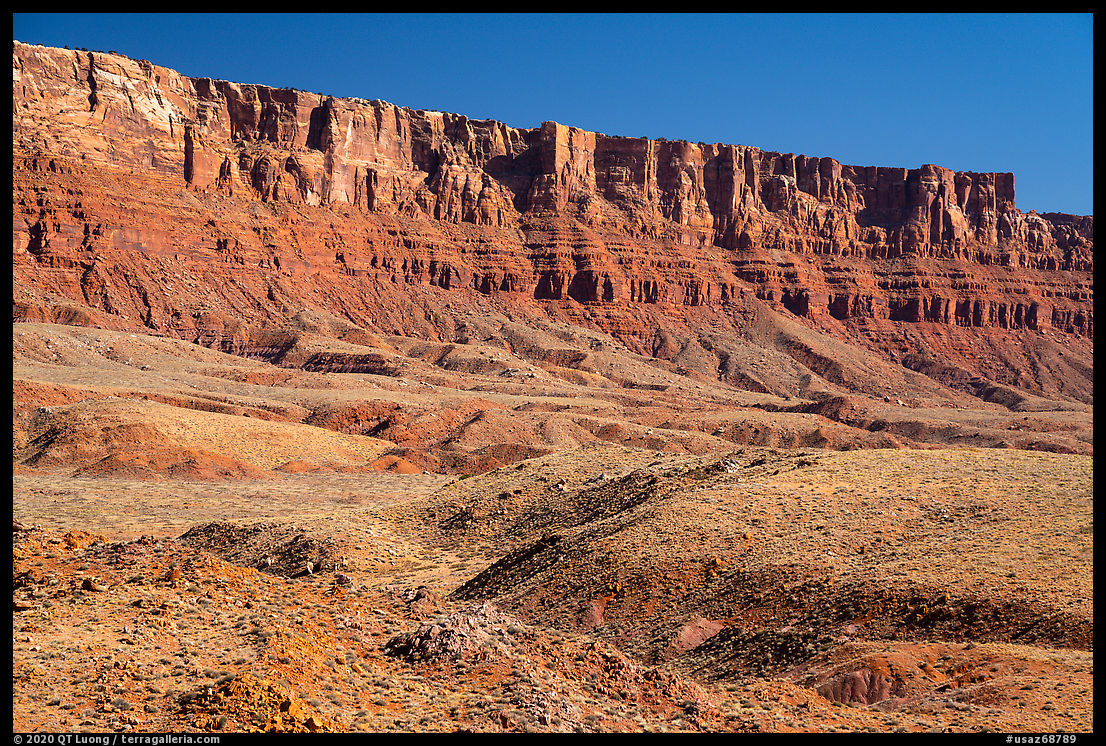
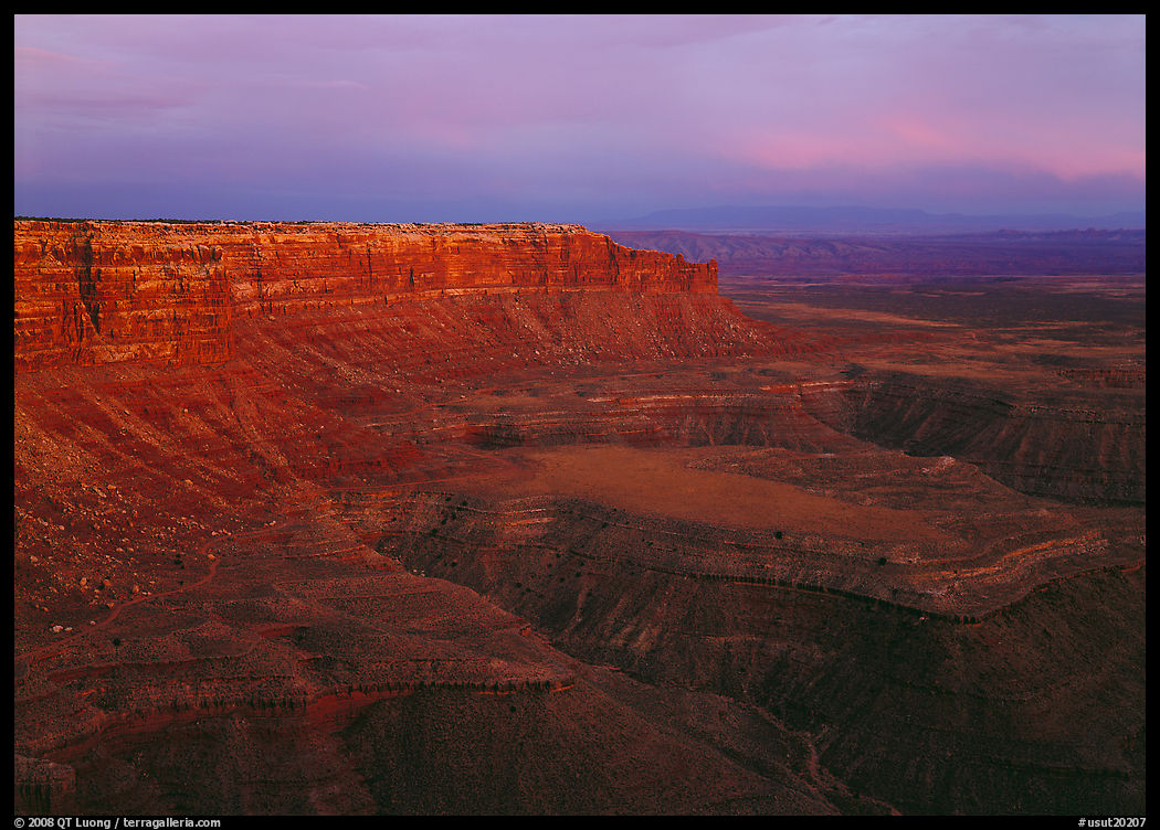
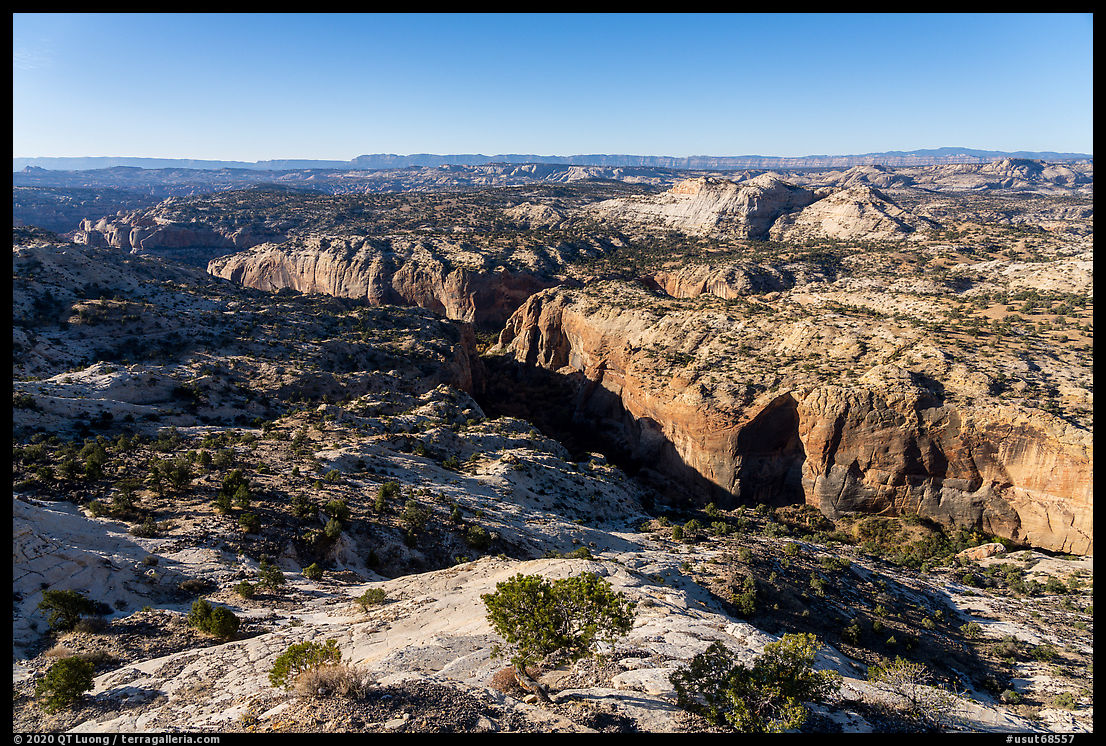
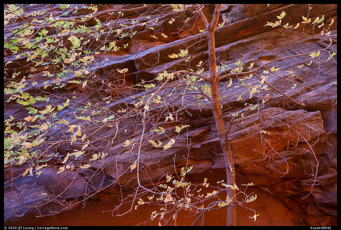
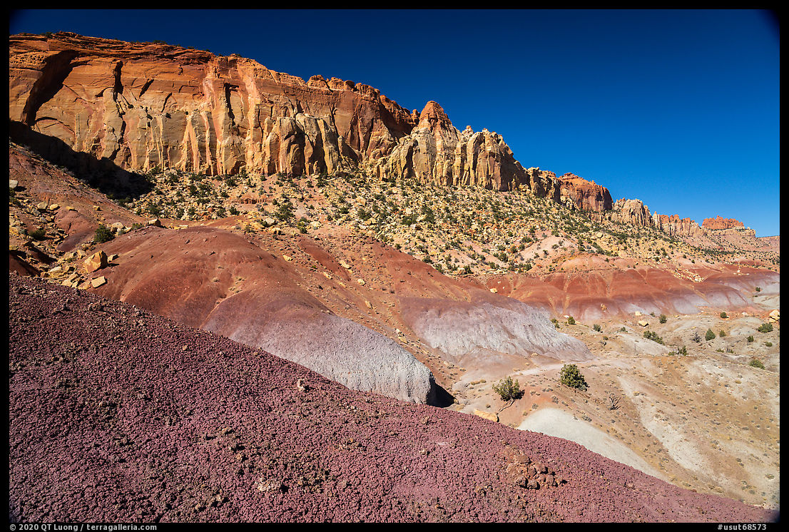
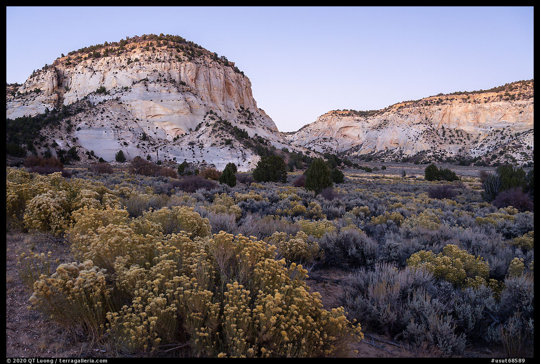
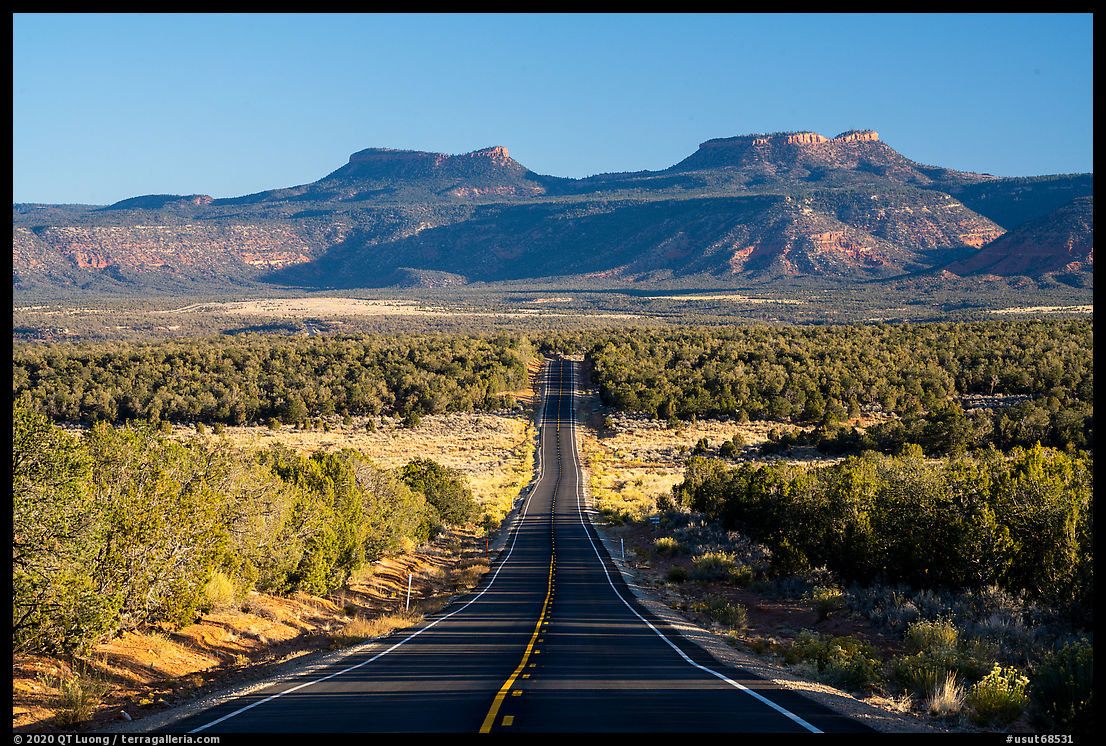
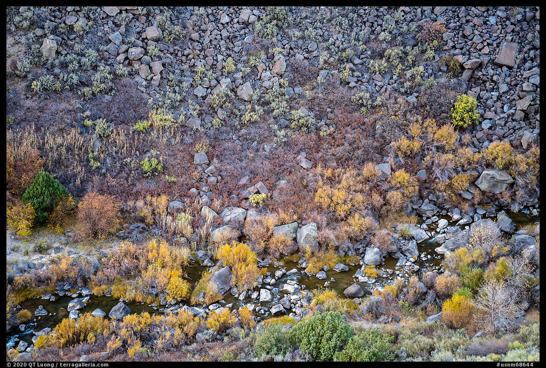
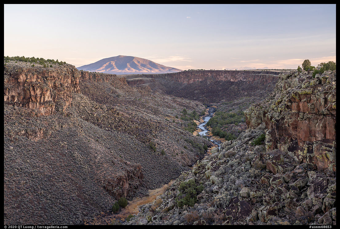
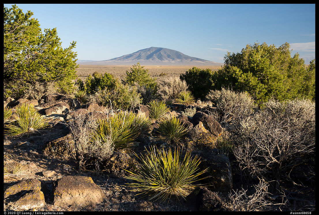
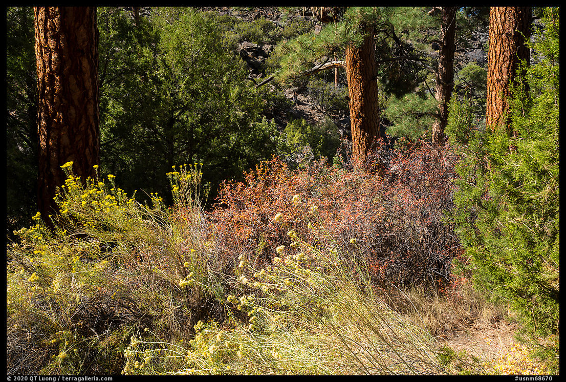
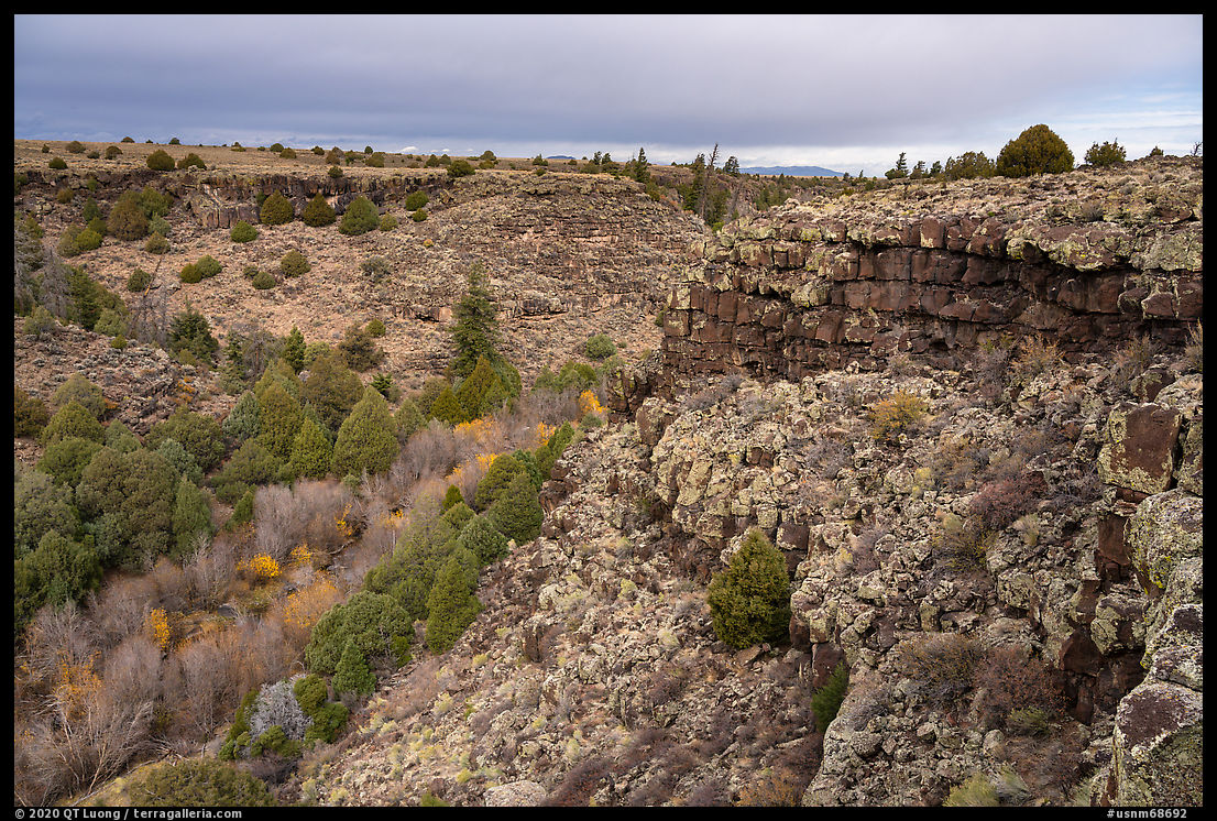
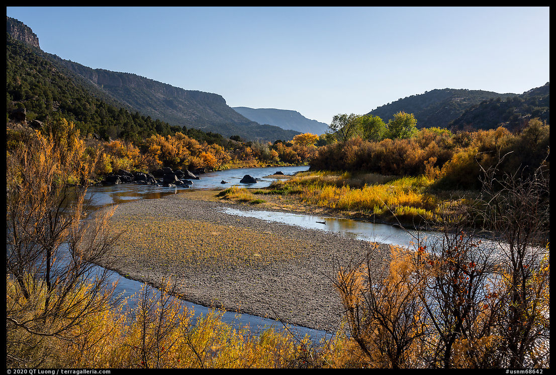
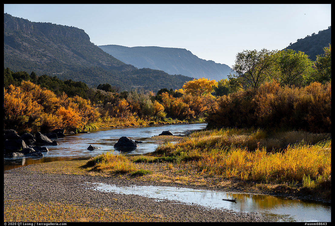
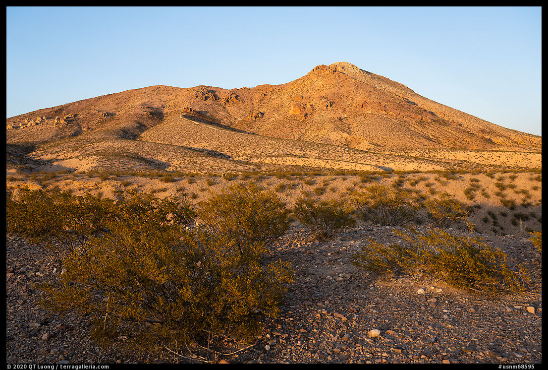
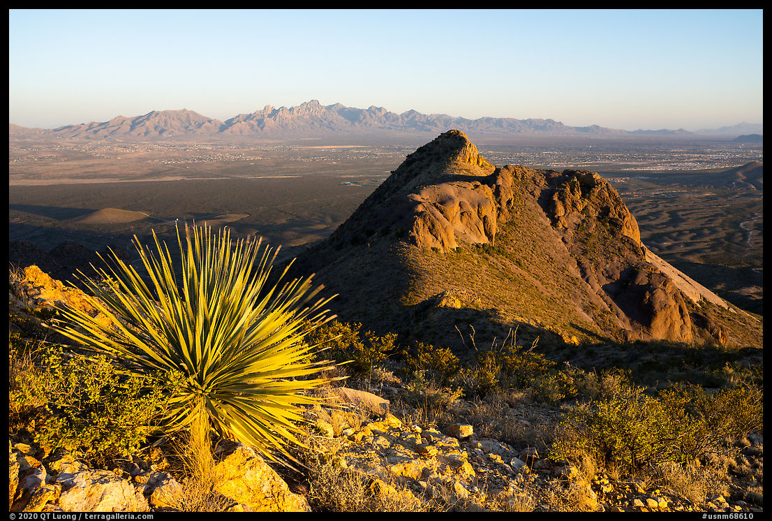
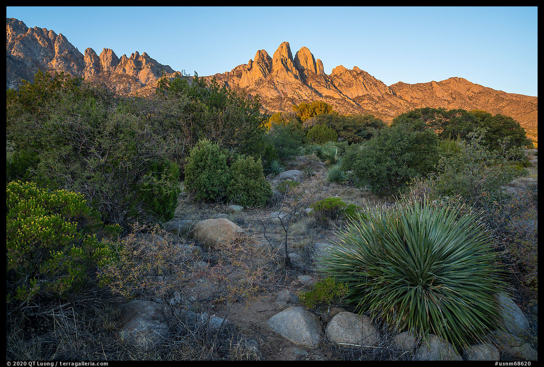
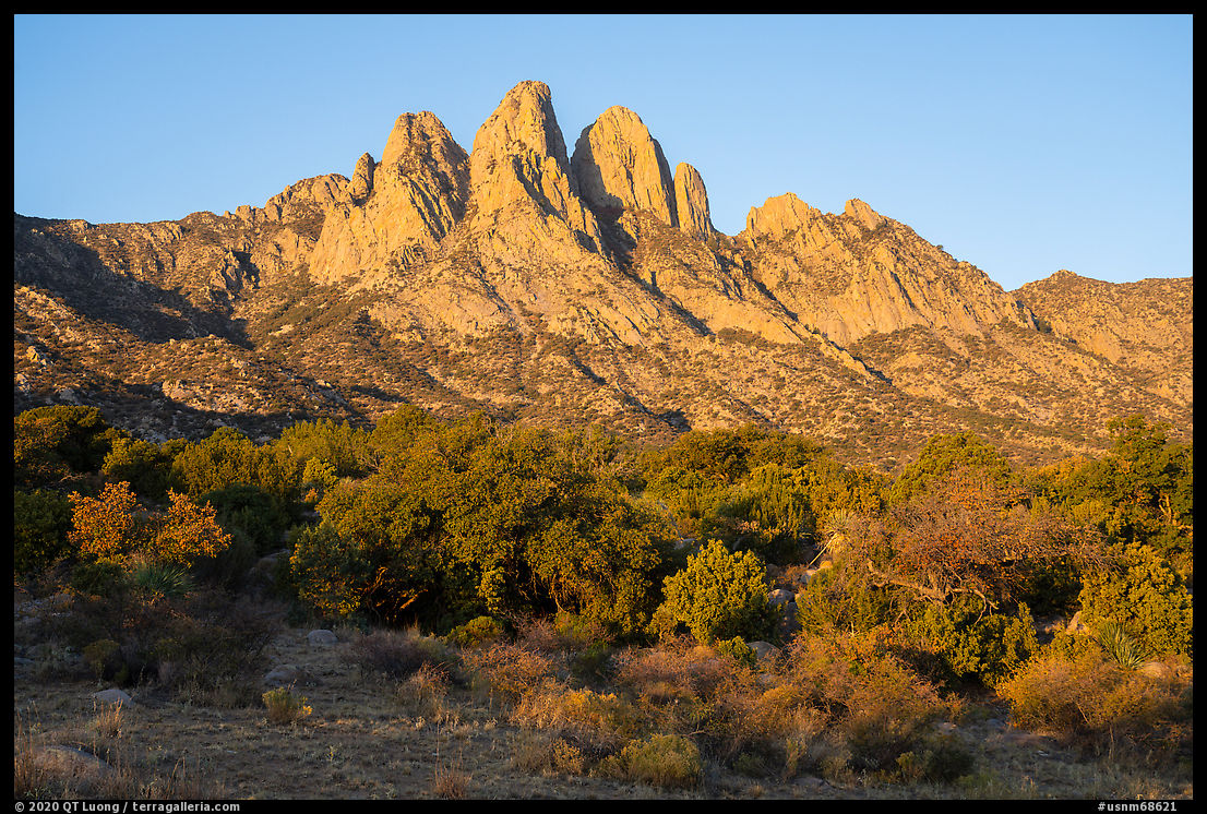
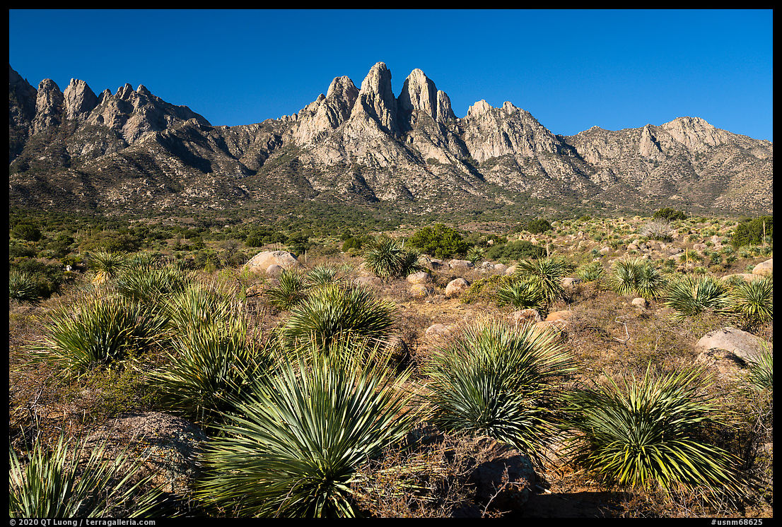
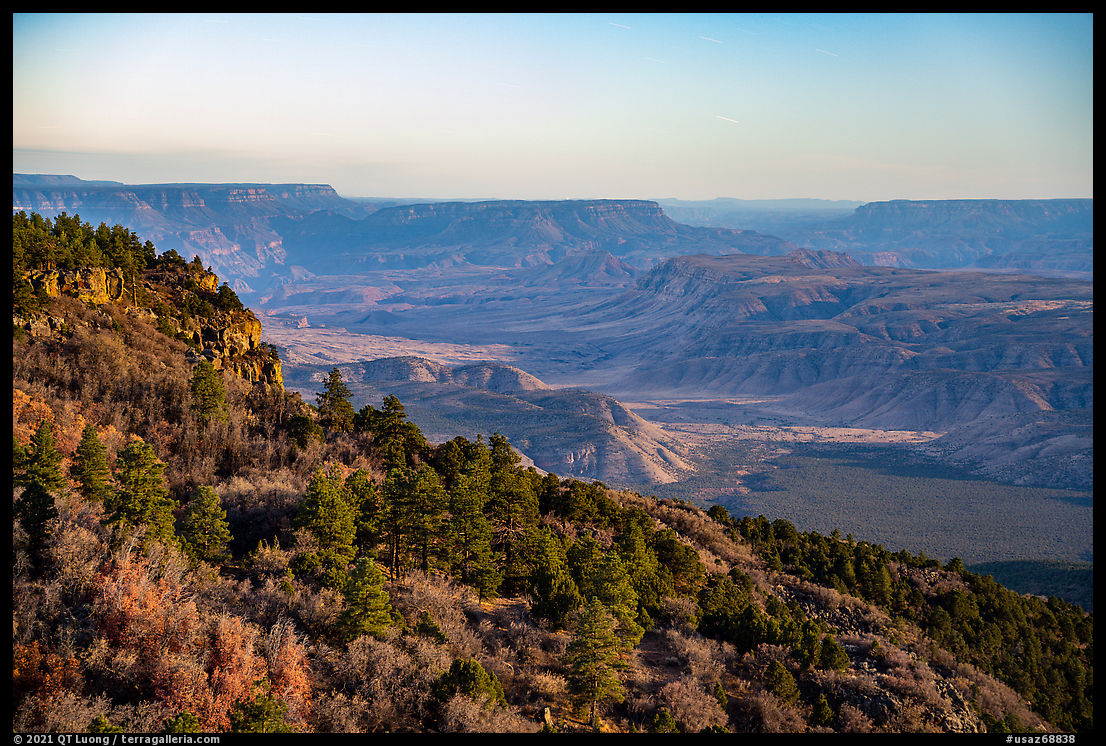
In the southeast section of the monument, its highest elevation lands form an island of juniper and pine trees above the desert that is 20F cooler than the lowlands. That area is dominated by two volcanic peaks, each the centerpiece of a designated wilderness area: Mt Trumbull (8028 ft) and Mt Logan (7866 ft). Having read that the later offers better views for a shorter hike, I had made it my destination.
Researching the trip
I asked readers what information should be available in my upcoming book about the national monuments. Unlike for national parks, information about the national monuments can be difficult to find and make sense of. This section will illustrate that point.The information found on the internet was all over the place and it doesn’t help that the road to Mt Logan is not even marked on the NPS map. In 2000, Annette McGivney writes for Backpacker (emphasis added):
Here on Mt. Logan, in the southeastern section of the new monument, I have a spectacular view of the Grand Canyon all to myself, although it required driving 55 miles down a brain-rattling dirt road and hiking steadily uphill for several hoursSimilarly, Andrea and Justin Lotak who visited 20 of the national monuments under review on a 3 month road trip in 2017 and wrote an excellent online guide to them state in Conservation Atlas (emphasis added):
we took a side forest road to set camp and hike up for a couple of hours to reach the Mt. Logan OverlookThe National Park Service provides precise directions to “Mt Logan Overlook”, but says only that it is a trailhead to the top of Mt. Logan without mentioning the hiking distance. Scott Surgent reports for The Mountains of Arizona:
we followed the road (called BLM-1064 after one subsequent junction) to its end just a half-mile east of the summit, from which a foot-path works through the ponderosa to the summit. We were looking at about a 5-mile round-trip hike with about 700 feet of gain.On the other hand, HikeArizona.com has (emphasis added):
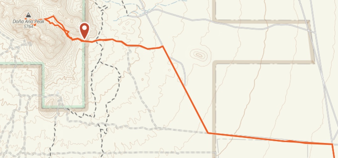
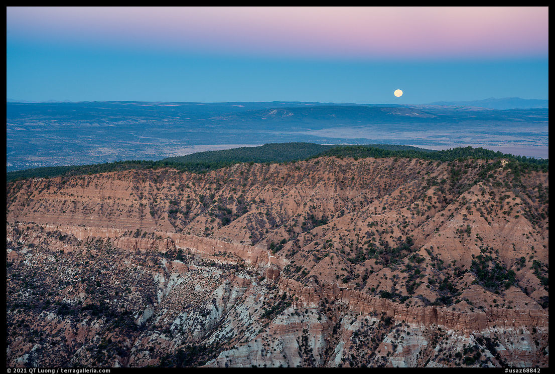
The trail to the summit is approximately half-mile and is marked with a trail sign and blazed trees.Doing additional research and putting together the information, it appeared that the last source was correct, but what if Scott Surgent had to walk the last section of road instead of driving because it was too rough? On that trip, I was driving a regular SUV, not the more rugged Jeeps generally recommended to explore Grand Canyon-Parashant. When I call the St George BLM office to inquire about the road, the ranger was pretty vague, saying only “high clearance 4WD”. Looking at the Lotak’s sunset photos and then at the topo map, I had determined that the geologic feature called “Devils Hole” would be better lit at sunrise, so I was planning to get to the summit at dawn. Because of that, whether it is a 0.5-mile or a 2.5-mile hike did make a difference.
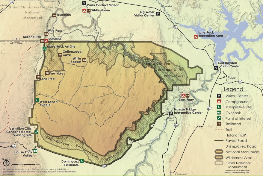
Driving to Mt Logan
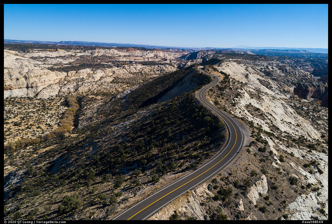
Since I had gotten lost on the Arizona Strip plains, my immediate worry was to get to the trailhead at night. It turned out that the NPS directions were precise, and with the help of the BLM Arizona Strip Visitor Map, I had no difficulties getting there. I think a Subaru would easily make it in similar road conditions. When I got to the end of the road, I was surprised to see a semi-developed parking area and a primitive campsite. I was even more surprised that it was full. A large group of ATV riders was enjoying dinner. I asked if that was the Mt Logan Trailhead, but nobody knew. After a quick survey of the area, I found a sign indicating so, and then drove down the road half a mile to sleep in quiet and privacy.
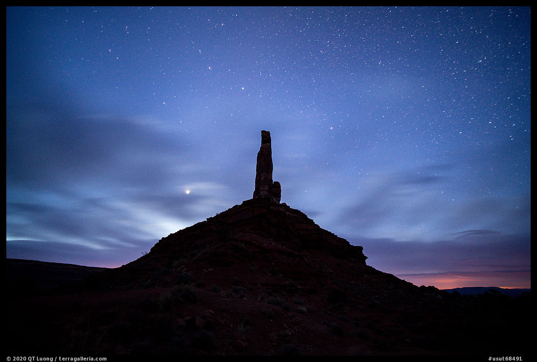
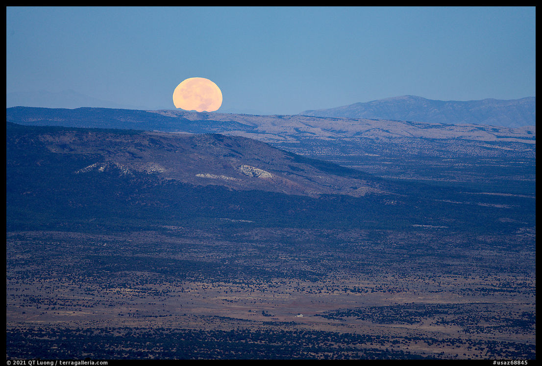
The next day, I got up two hours before sunrise. I had missed photographing at sunset. However, the full moon would light up the landscape from the west in a similar way. You never know fully which lighting directions create the best opportunities. The moon offered me the chance to photograph a quasi-sunset and a sunrise in the span of two hours if I would start photography at night before the light of pre-dawn would overwhelm moonlight.
Photography at Mt Logan
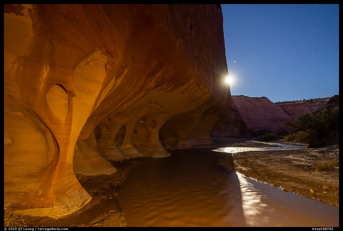
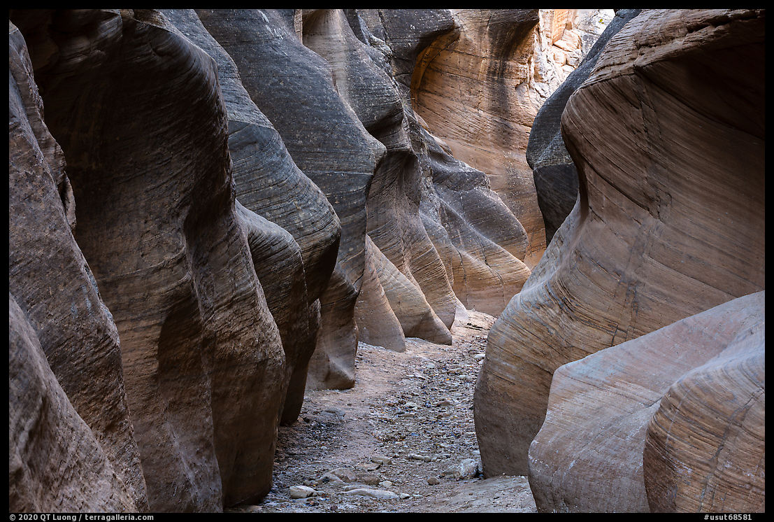
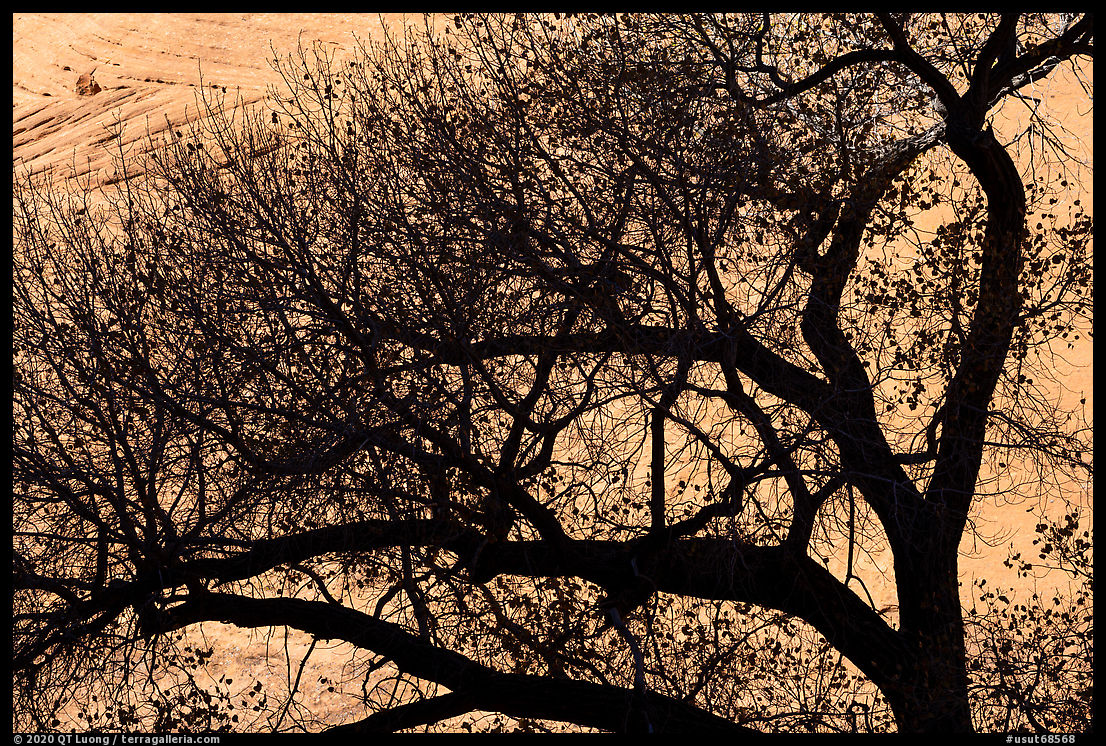
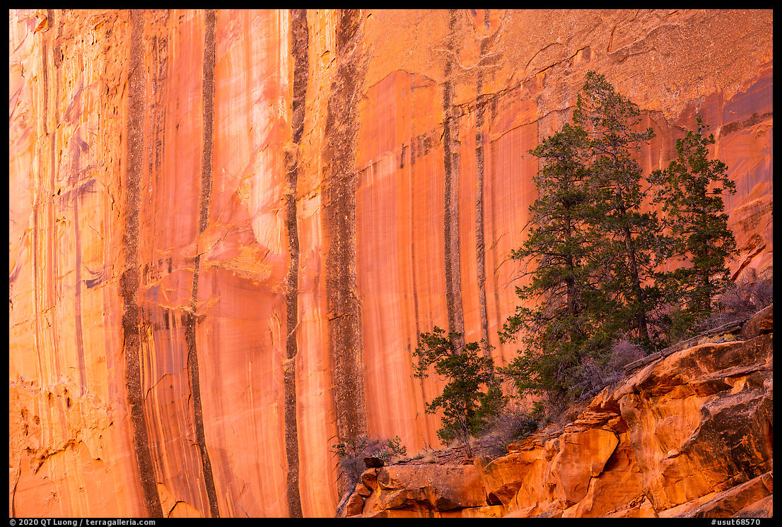
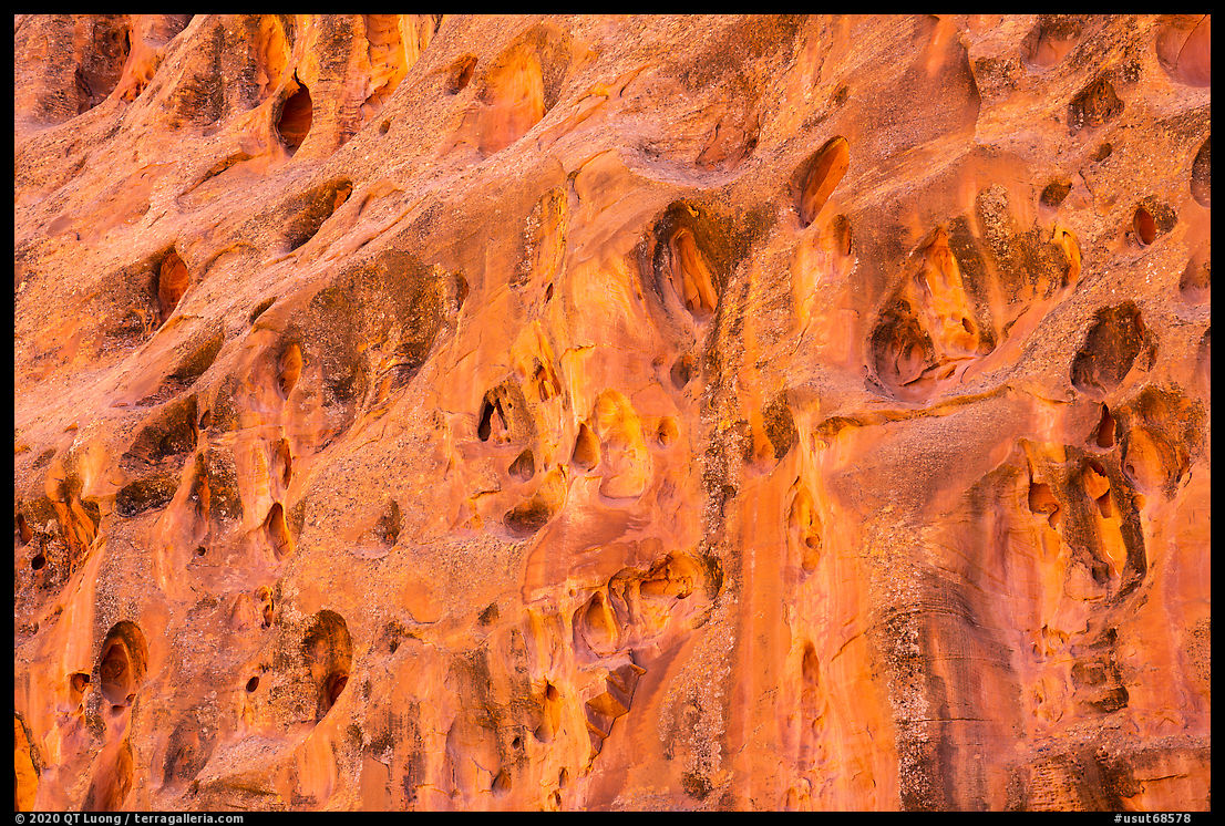
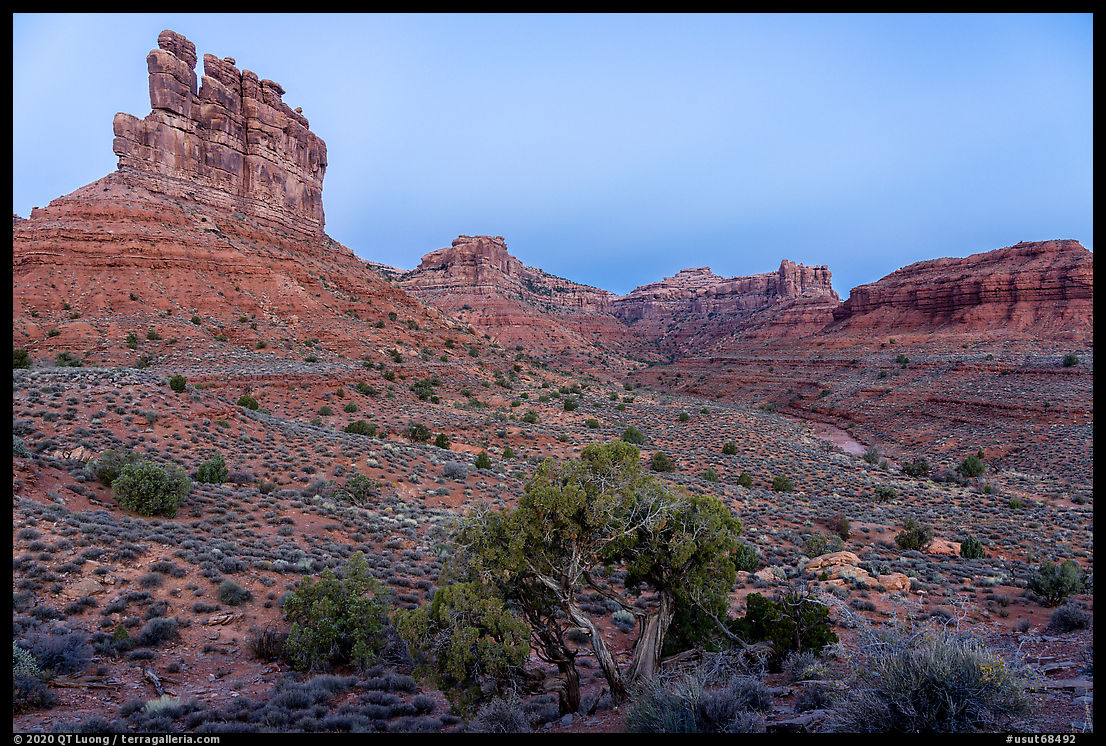
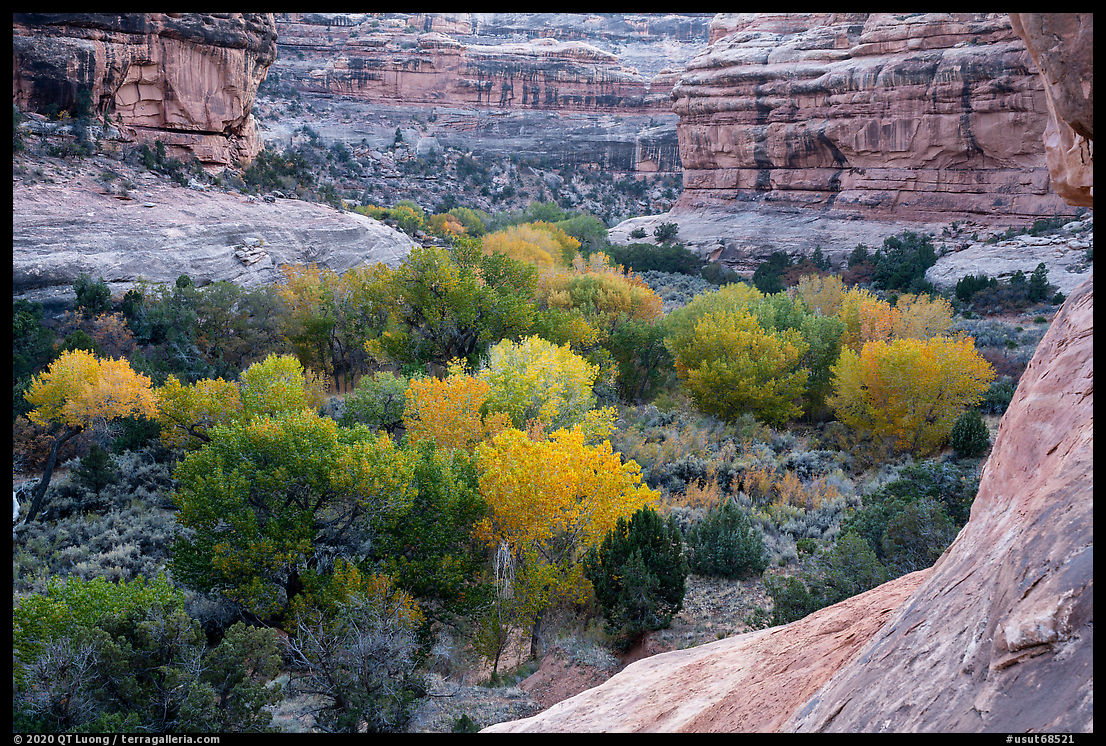
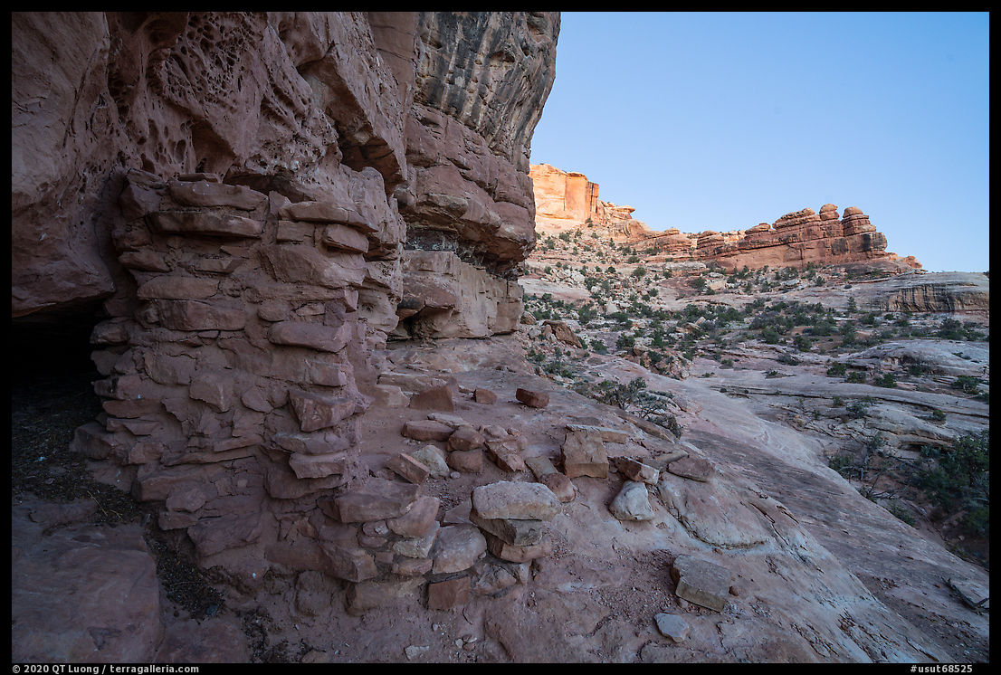
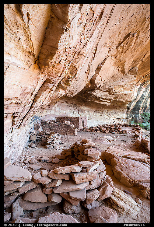
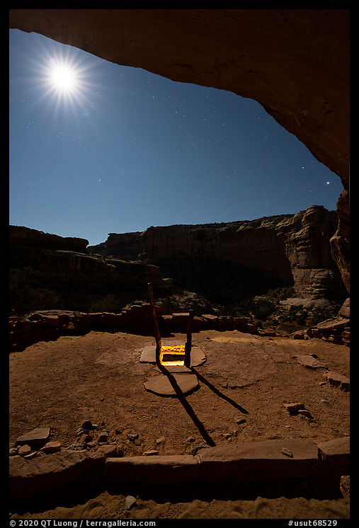
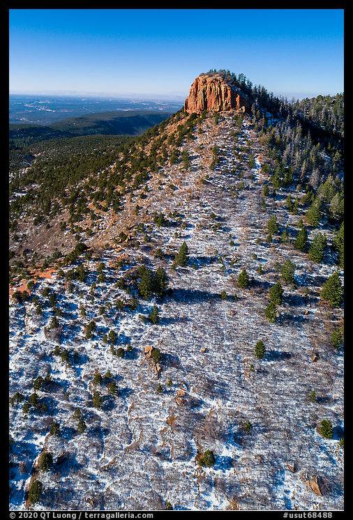
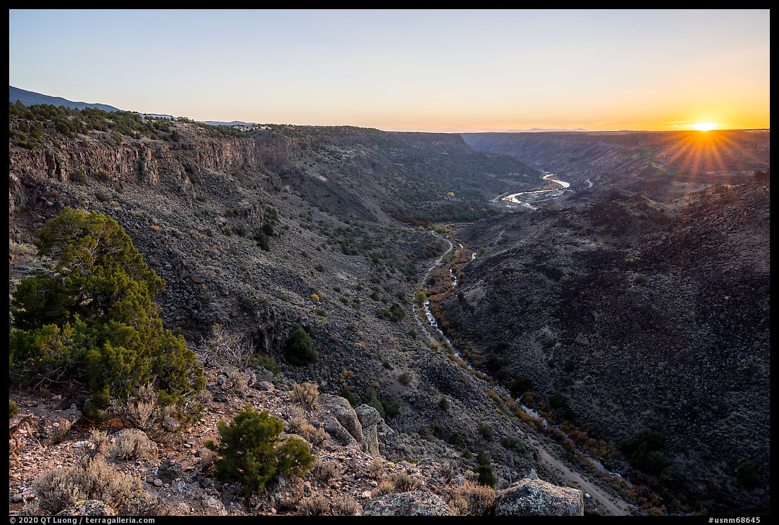
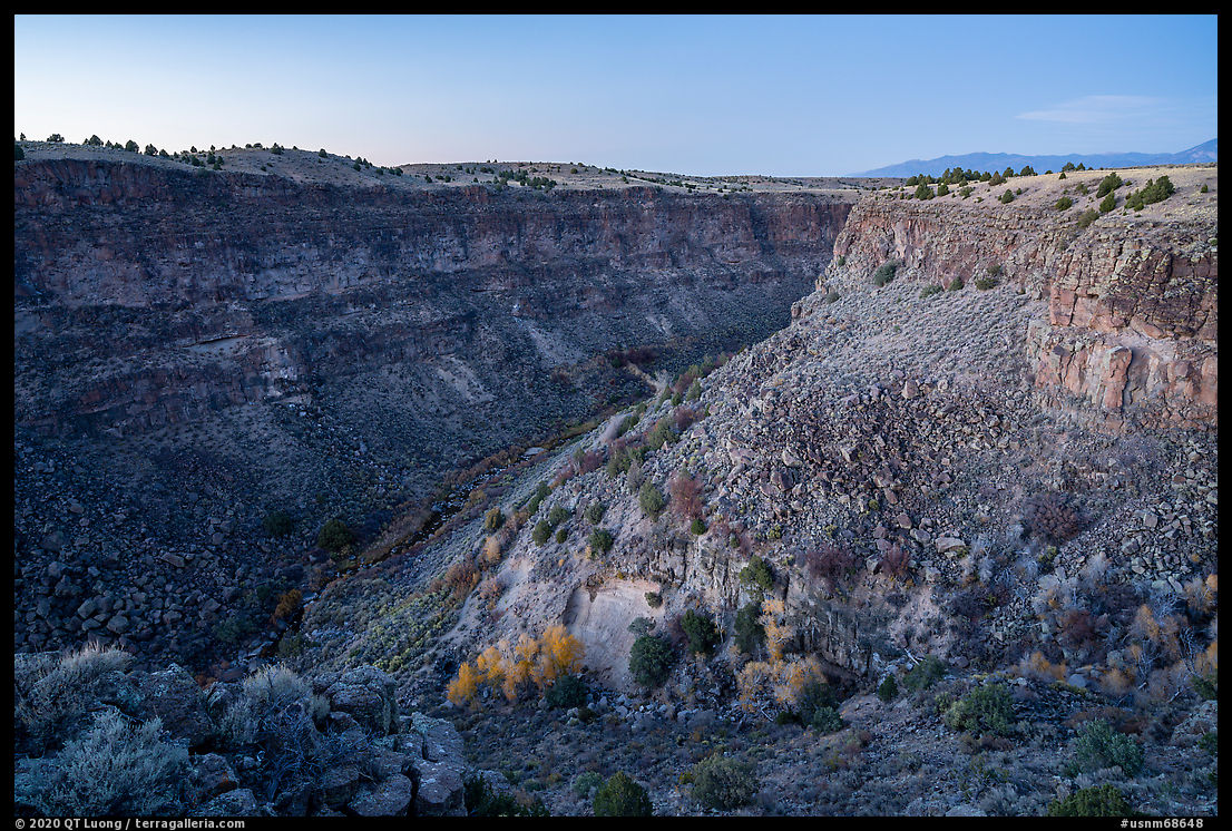
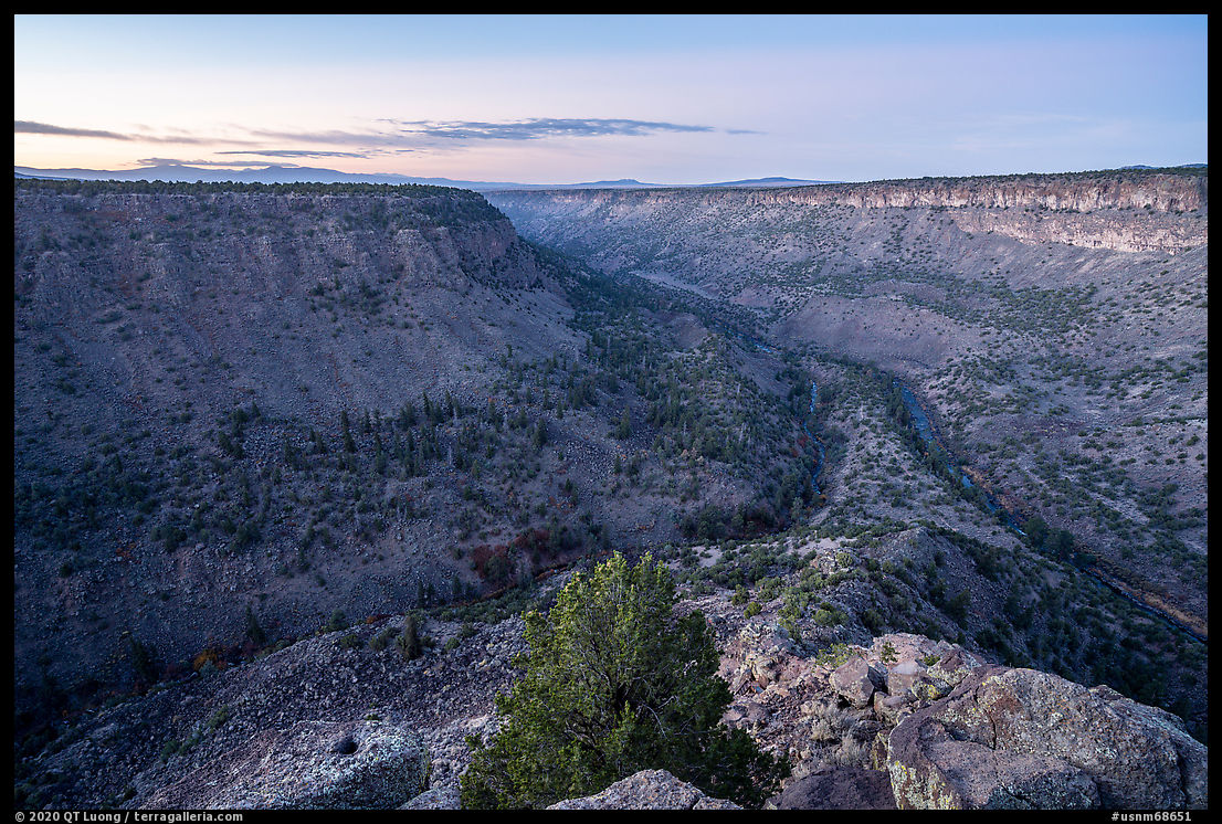
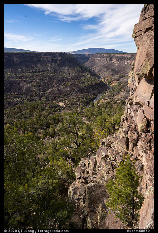
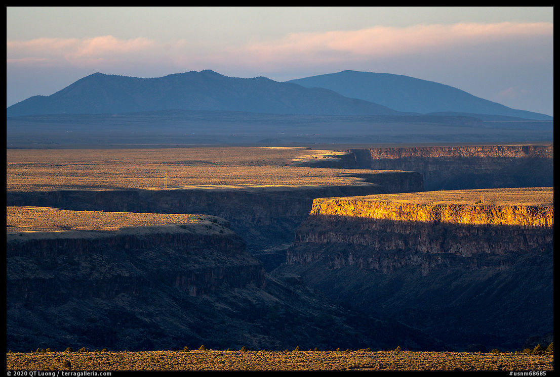
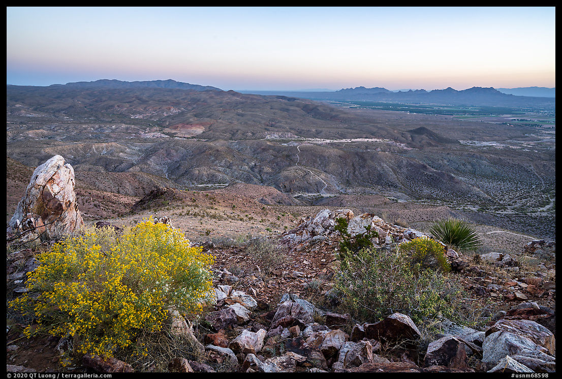
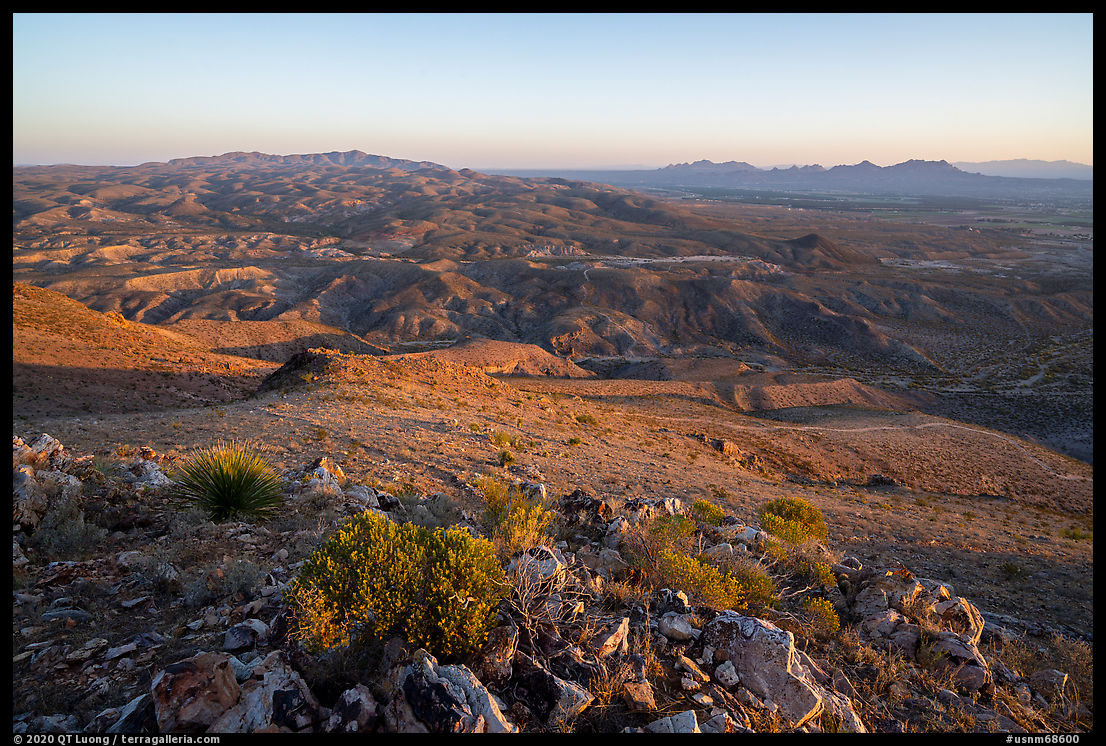
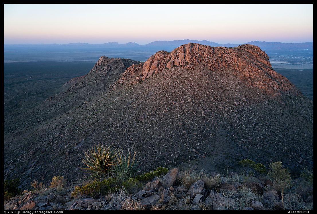
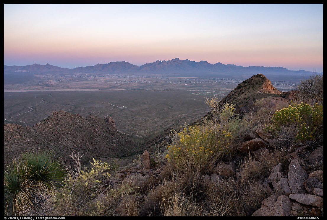
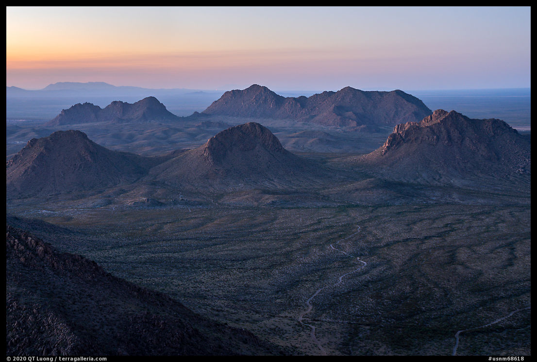
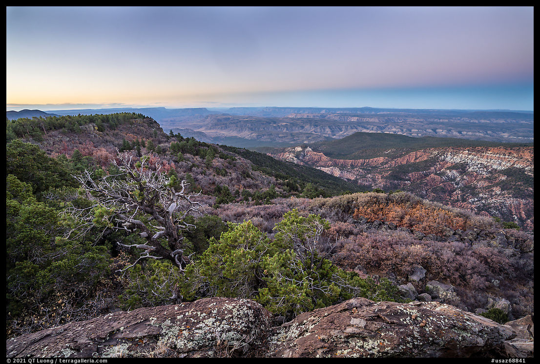
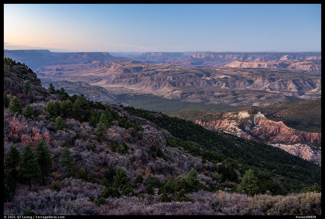
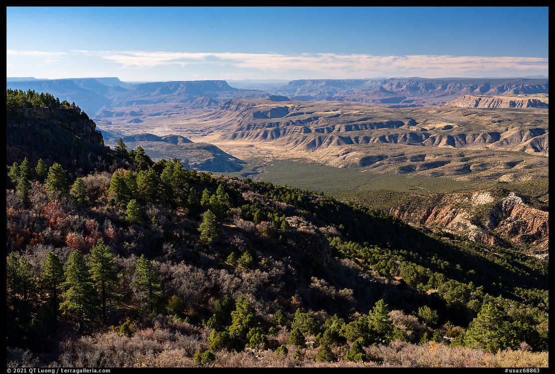
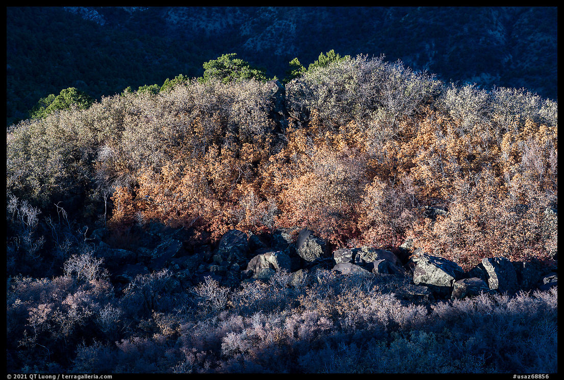
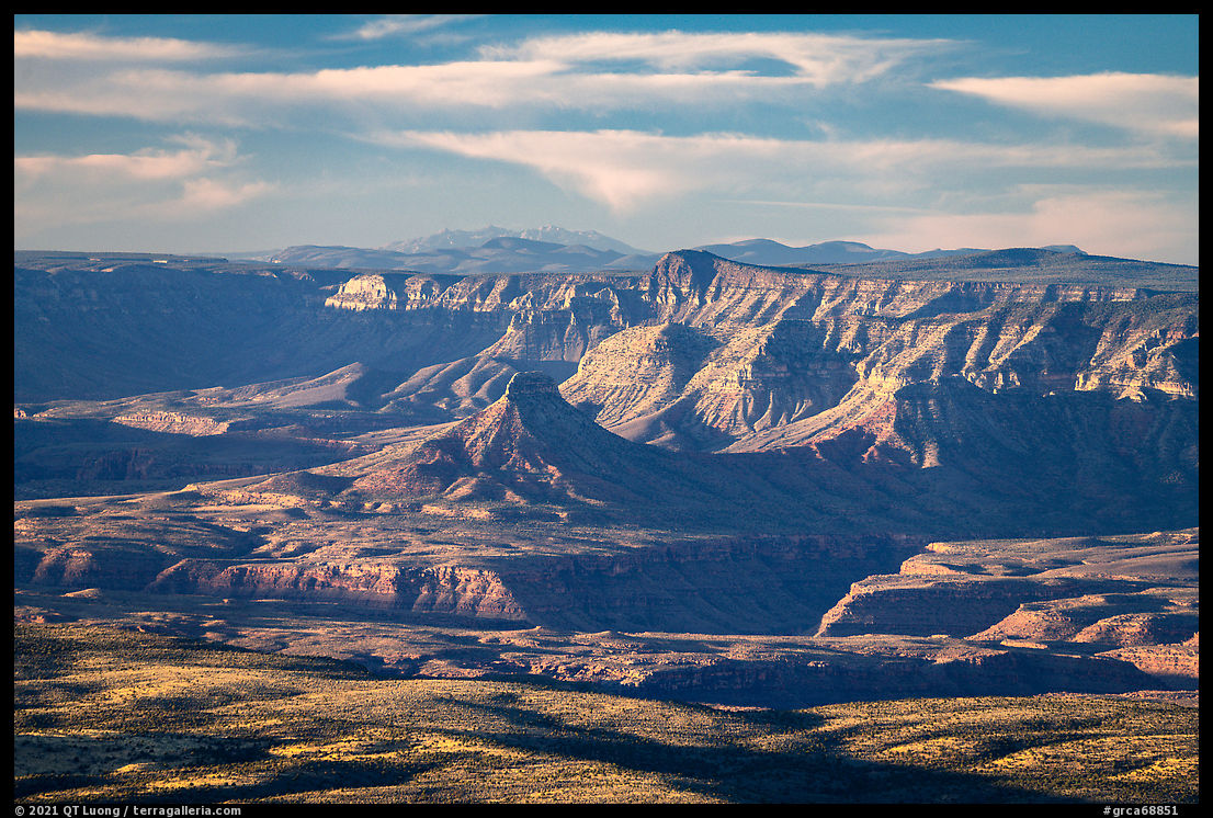
The hike was indeed only half a mile (250 ft elevation gain). Although Mt Logan is forested, from the summit, rocky outcrops provide a superb overview at a glance of the Grand Canyon drainage basin, from pine forests to tablelands and in the distance the Grand Canyon itself, with an amphitheater of the colorful eroded spires called Devils Hole in the foreground.
I had packed two tripods, and upon arrival, I set up a timelapse for which I had high hopes. It would show the full moon setting right at sunrise, its brightness perfectly balanced at dawn as can happen only on the night of the full moon, night turning to dawn turning to sunlight, and then the shadow line moving down Devils Hole until the formation would be fully lit. To handle the transition from night to day, I periodically stopped the time-lapse and lowered the ISO.
Half-an-hour after the sunrise, I had photographed enough compositions with focal lengths from 16mm to 400mm in varying light that I was ready to move on, but I stuck around so that the timelapse would complete with Devils Hole fully lighted. When I reviewed the sequence, I discovered that half of the time, when I thought the timelapse shooting had restarted, in fact, it didn’t. It is not every day that you find yourself at a location as remote as Mt Logan, right on a full moon day, but I had to get over the disappointment and move on. The process of creating is essentially an adventure, and as such it is normal that it includes not only successes but also mistakes and disasters.


Driving out
Back to the trailhead, I chatted with the ATV riders. They were part of an organized excursion with a support vehicle, a humongous lifted full-size truck with some of the beefiest tires I’d ever seen. I pointed out that each of the ATVs carried two spare tires. One rider explained that at the highway speed at which they were riding, the rough roads were hard on tires. When I heard that collectively, their group went through an average of 3 tires per day, it made me feel better that at least someone was having more tire flats than me. Upon departing, my new acquaintance wished for me not to have tire troubles.On the endless flats of the Arizona Strip on my way to the next destination, with the directions this time not in doubt, I went back to listening to Sapiens. The audiobook was drowning out the road noise, and the clay road was quite smooth. I was driving effortlessly at 40 miles per hour. It looked like I hit a sharp bump, and I felt instantly apprehensive, but I didn’t stop. Later, I noticed something rattling, and when I stopped to inspect the car, I saw that a plastic trimming was dangling. I told myself I’d better reach the pavement sooner than later, and only then did I stop and put the trimming back in place before getting on the highway. I’d been driving on it for less than fifteen minutes when I began to notice the telltale sound of a flat tire. I pulled over on the side of the road, glad not be in the middle of nowhere, and resolved to slow down on dirt roads in the future.
Since I had the luxury of cell phone coverage, I called AAA, and as they promised an intervention time of only about half an hour, I thought it would be preferable to let a well-equipped mechanic change the tire instead of struggling with it myself. While waiting, I pulled out the spare tire and saw that it was the dreaded reduced size, donut tire. The closest tire shop was a Jiffy Lube located in Hurricane, UT. I was disappointed to find out that the machine they use to take out tires was broken. The mechanic told me that since it was past 5:30PM on a Saturday afternoon, nobody in town was open anymore, and I may have to wait until Monday.
Monday was the day I planned to be home. I wondered whether I’d be able to drive to Las Vegas on my donut tire, but another online search turned out a Walmart in town with a closing time of 6 PM. I arrived at the Wallmart Auto Center at 5:59 PM. The employees were in the process of closing, but after I told them I was from California, they agreed to fix the tire. Afterward, I pulled out a $20 bill, but the cashier immediately told me that per their policies, they could not accept any tips. I followed US-93 to Alamo NV where I stopped for gas. It was Halloween night, and seeing decorations and groups of youngsters in this remote town was surreal, but also oddly cheerful. As I left the pavement again, the lights vanished, and my surroundings turned into dark desert.
The Last Road Trip: 1 | 2 | 3 | 4 | 5 | 6 | 7 | 8 | 9 | 10 | 11 | 12