New images: more from Santa Cruz Island
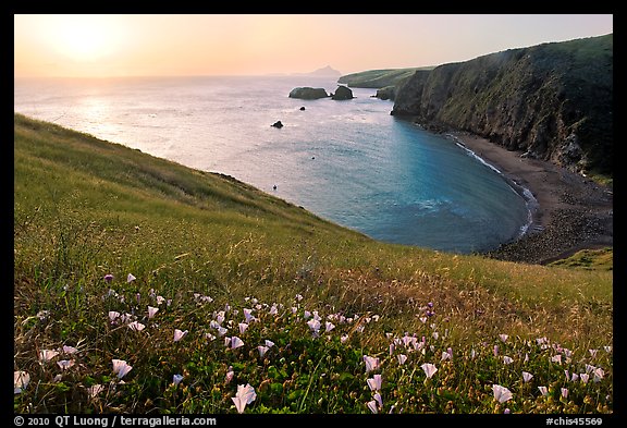
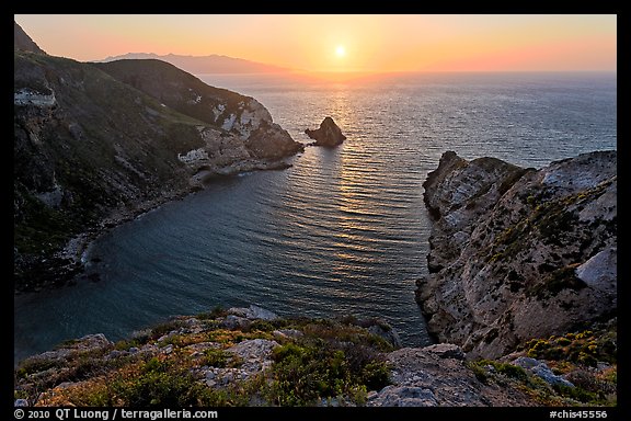
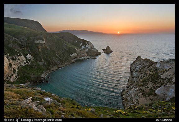
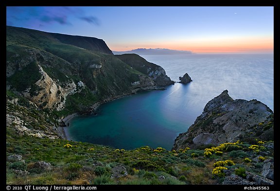
Thank you for those who voted on yesterday’s polls about the Potato Harbor sunsets. I am with the majority opinion. I prefer the third image because it looks more natural, as the contrast was down to reasonable levels, while the two other images have a “HDR” look. Of those two, I prefer the first one because of the sun light. Those who ventured to guess the processing techniques got it generally right. I used HDR to handle the more extreme contrast of the first image, and worked manually on the last image. In fact the last image could have been captured in a single exposure but with two images I was able to obtain cleaner tones in the darker areas.
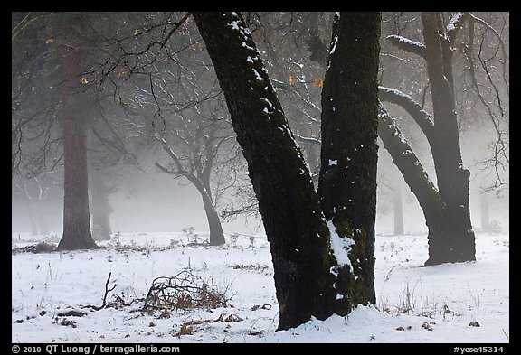
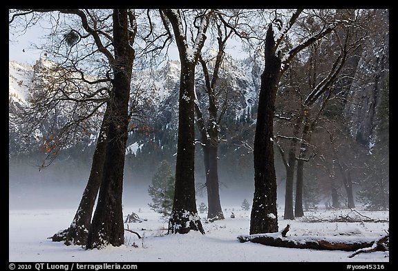
In addition to the three sunsets, I have also posted new images from the trip to Santa Cruz Island on Channel Islands National Park.
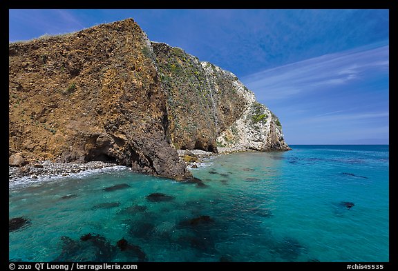
While Anacapa Island offers the most spectacular viewpoint (Inspiration Point), one can hike all the Anacapa trails in less than one hour, and all the viewpoints are cliff-top. Santa Cruz Island, over 96 square miles in size and California’s largest island, offers ample room to roam, even though the National Park extends only on the westernmost 25% of the island (the rest is owned and managed by the Nature Conservancy). The topography varies from wide beaches to mountain ranges rising above 2000 feet.
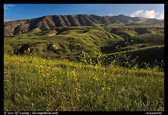
The Scorpion campgrounds, nested in a eucalyptus groves situated in a sheltered canyon, offer a pleasant stay on the island. The closest is only half-a-mile from the landing pier, with water available. Unlike the outer islands (Santa Rosa and San Miguel), which are serviced by Island Packers only from late spring, Santa Cruz Island is accessible year round, so one can come there while the grass is still green and the wildflowers in bloom.
On the first day, we hiked the loop along the bluff through Cavern Point to Potato Harbor. If you stay there for sunset, you can conveniently return in the dark through an old road rather than a trail. On the second day, after a sunrise above Scorpion Harbor, we hiked the Scorpion Canyon loop trail let to explore a bit of the island interior.
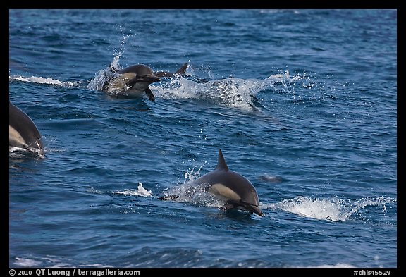
On the way to the Island, the boat stopped near a school of dozens of dolphins. Although we traveled to the island on a Thursday, the boat was packed. If you want to get away from the busy Southern California mainland to explore a wonderfully peaceful island, plan your trip now.