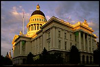
Sacramento
(25 images) larger
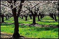
Central Valley
(62 images) larger
San Luis Reservoir
(10 images) larger
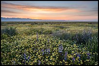
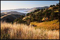
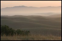
Carrizo Plain National Monument
(106 images) larger
San Miguel
(27 images) larger
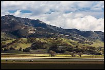
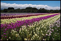
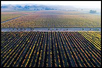
Salinas Valley
(14 images) larger
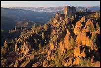
Fort Ord National Monument
(41 images) larger
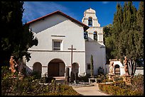
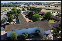
San Juan Bautista
(30 images) larger
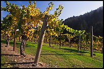
Santa Cruz Mountains
(17 images) larger
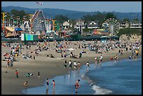
Santa Cruz
(69 images) larger
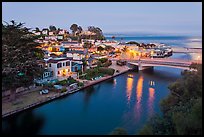
Watsonville
(23 images) larger
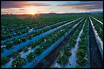
Castroville to Marina
(13 images) larger
Pacific Grove
(23 images) larger
Pebble Beach
(20 images) larger
Carmel-by-the-Sea
(75 images) larger
Point Lobos
(57 images) larger
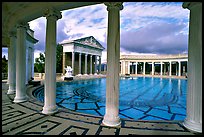
Hearst Castle to Cambria
(18 images) larger
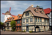
San Luis Obispo to Buelton
(17 images) larger