| Home / Black and White / USA / Alaska/ Whittier [ page 1 of 2 ] |
[ Color | Black and White ]
Map
|
|
|
| |
WhittierBlack and White pictures by QT Luong |
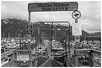
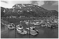
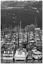
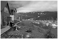
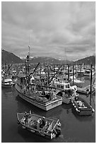
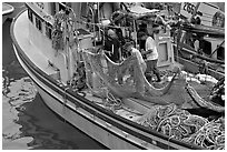
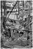
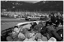
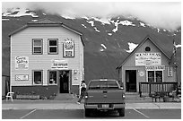
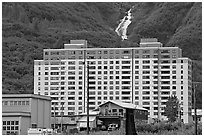
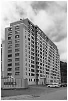
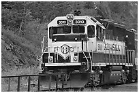
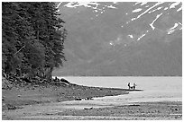
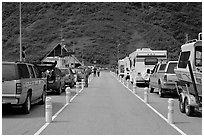
| Whittier was originally developped during the second World War as a back-up military harbor in a stunning location surrounded (and therefore hidden) by mountains. Unexpectedly, most of the residents live in a high-rise appartment building, which, when built, was the tallest in Alaska. The community was quite isolated, until road access came to it recently. The railroad tunnel was fitted to accomodate vehicles that cross alternatively in a single lane also shared with the train. Whittier has since become a popular gateway to the Prince William Sound. |
[CLICK on any picture to see a larger image and details, to add to selection, to order, and to download wallpaper.]
|
|
Anchorage | Fairbanks | Seward | Portage | Whittier | Prince William Sound Ninilchik | Homer | Hope | Seward Highway | Parks Highway | Glenn Highway Denali Highway | Richardson Highway | Steese Highway | Dalton Highway | Wiseman North Pole | Chena Hot Springs | McCarthy | Kotzebue | Eskimo Villages Misc Alaska places | Glacier Bay | Wrangell-St Elias | Kenai Fjords Lake Clarke | Katmai | Denali | Gates of the Arctic | Kobuk Valley
|
|
|
Home
·
Contact
·
Mailing List
·
About QT Luong
·
Blog/News
·
Terms of use
Buy fine art prints · License stock photos · Hi-res wallpaper · Books · Myanmar Photo Tour |
|---|