terragalleria.com · the photography of QT Luong Advanced Search
Home / Oceania / Hawaiian Islands/ Hawaii - Big Island [ Color | Black and White ]   Map
 

Hawaii - Big Island

Pictures by QT Luong

[Big Island West] [Big Island East] [Akaka Falls State Park] [Hawaii Volcanoes NP]

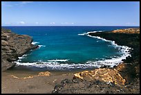
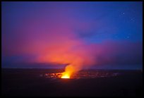
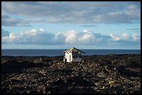
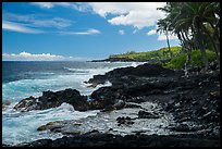
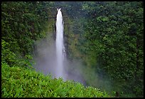
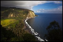
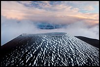
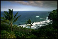
The Big Island of Hawaii (or simply Hawaii Island) is aptly named so, looking more like a small continent, than an island. It is twice the size than all the other Hawaiian Islands combined. Its population is also the less dense. Dominated by volcanoes, the Big Island features a peak whose top is sometimes covered in snow while eruptions on its flanks send rivers of molten lava into the Pacific. Some of the coastlines are desert-like, with fields of black lava stretching to the horizon, while a few dozen miles away, hundreds of inches of rain feed tropical jungles, exotic blossoms, and year-round cascading waterfalls.

I visited the Big Island of Hawaii in two trips, both focused on Hawaii Volcanoes National Park. On the first trip, the lava was not flowing in an accessible area, and I spent a few days driving around the island.

Pictures of Big Island West
Big Island West (14 images) larger
Pictures of Big Island East
Big Island East (29 images) larger
Pictures of Akaka Falls State Park
Akaka Falls State Park (20 images)
Pictures of Hawaii Volcanoes NP
Hawaii Volcanoes NP [US National Parks]

Oahu | Hawaii - Big Island | Maui | Kauai
Australia | American Samoa | Hawaii

Up to photos of OceaniaOceania
Home · Terms of use · Contact · Guestbook and Mailing List
Large Format · Buy fine art prints · License stock photos · Hi-res wallpaper