Large Format photos of Kenai Fjords National Park · Panoramic photos of Kenai Fjords National Park
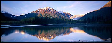
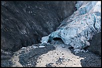
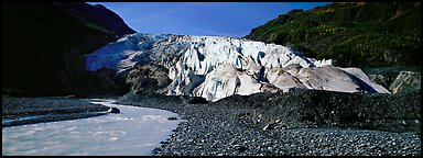
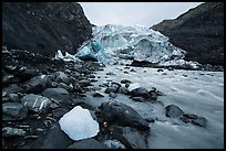
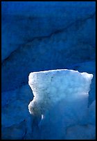
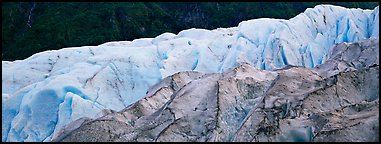
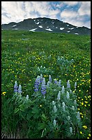
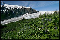
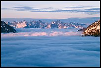
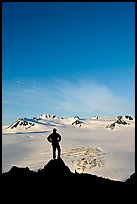
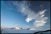
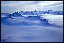
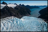
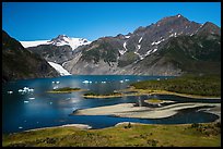
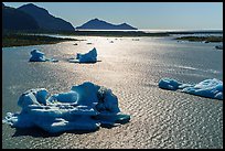
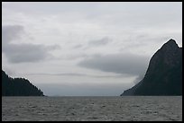
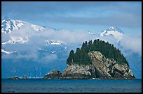
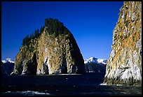
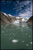
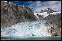
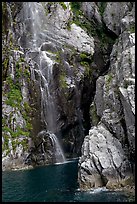
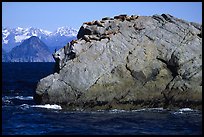
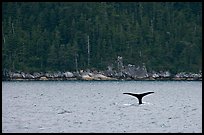
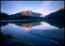
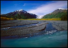
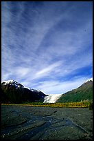
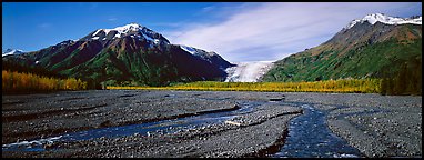
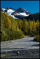
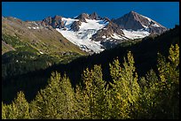
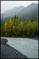
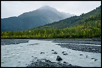
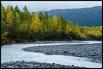
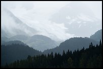
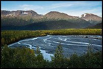
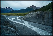
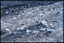
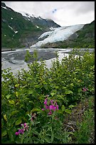
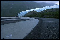
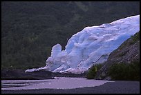
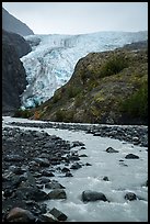
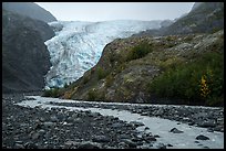
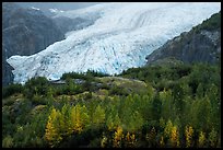
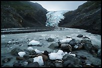
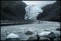
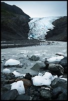
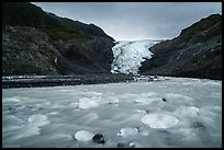
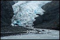
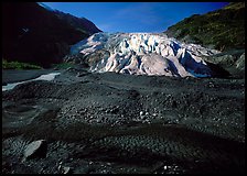
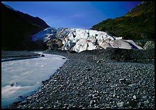
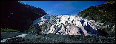
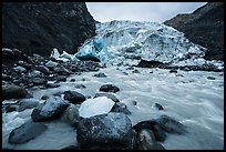
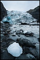
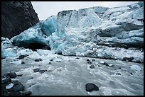
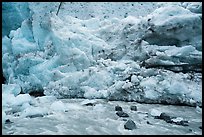
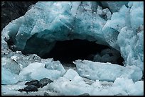
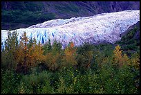
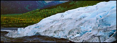
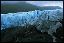
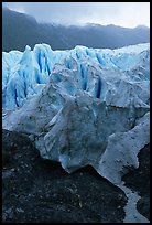
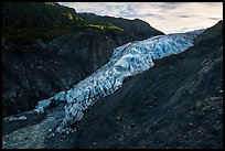
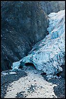
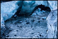
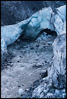
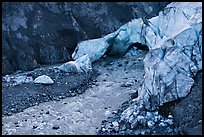
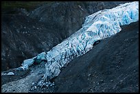
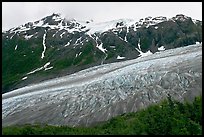
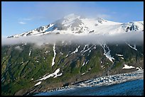
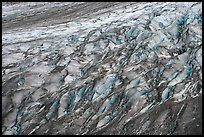
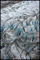
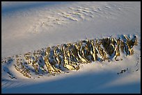
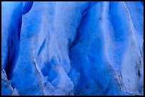
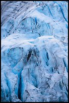
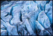
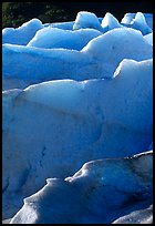
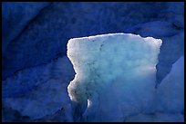
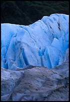
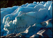
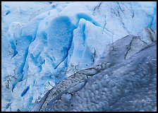
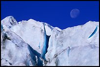
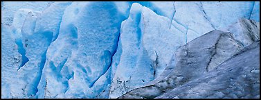
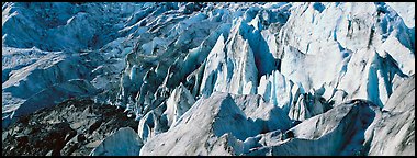
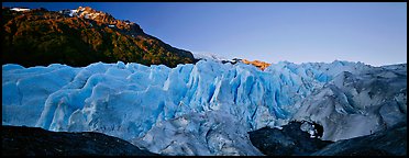
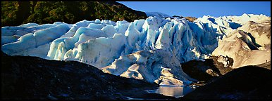
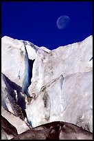
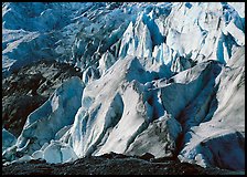
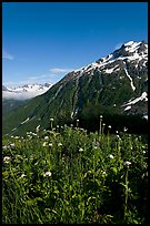
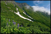
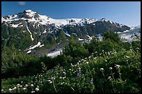
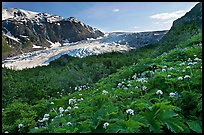
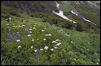
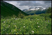
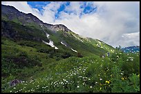
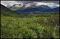
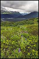
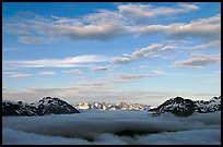
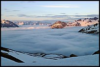
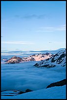
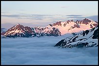
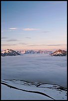
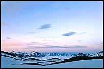
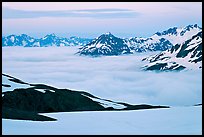
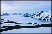
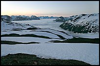
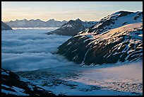
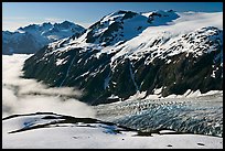
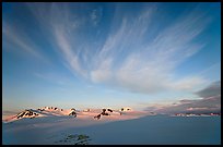
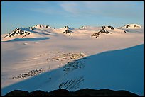
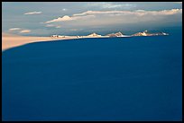
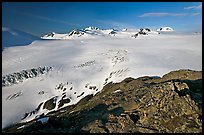
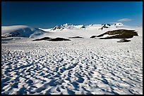
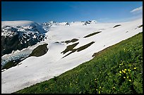
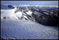
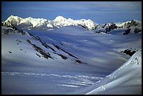
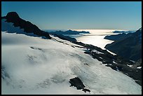
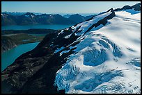
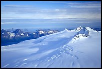
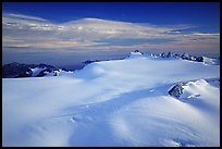
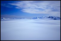
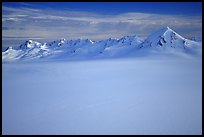
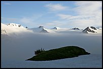
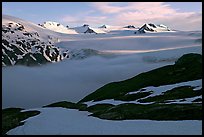
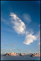
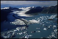
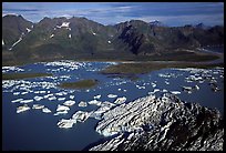
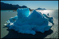
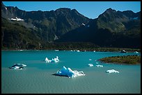
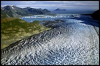
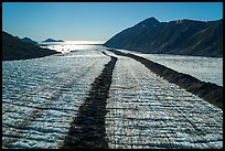
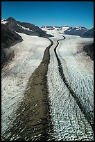
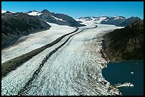
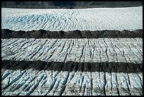
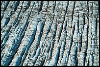
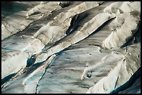
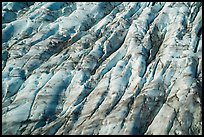
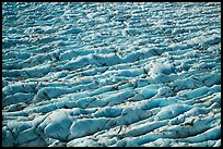
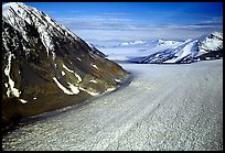
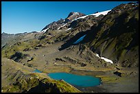
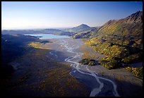
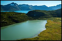
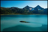
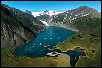
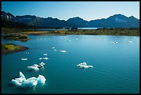
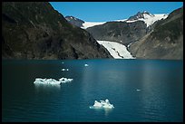
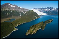
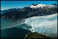
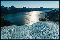
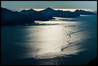
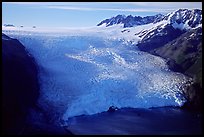
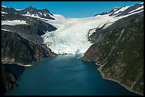
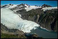
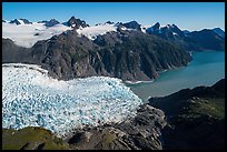
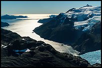
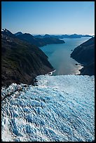
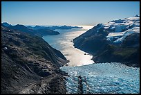
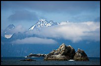
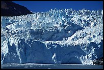
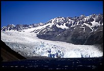
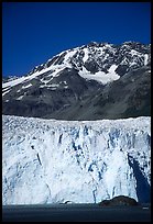
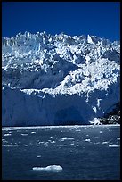
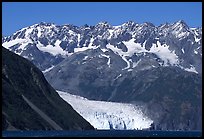
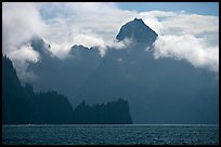
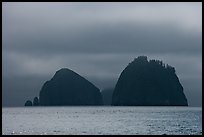
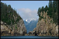
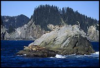
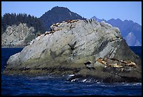
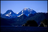
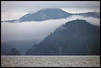
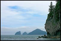
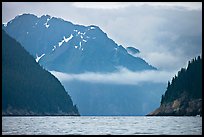
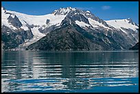
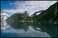
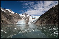
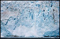
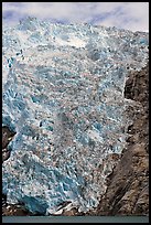
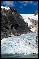
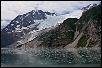
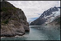
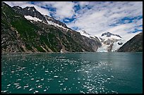
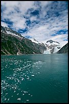
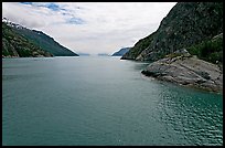
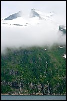
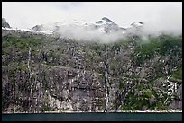
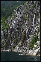
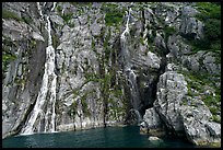
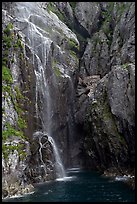
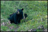
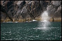
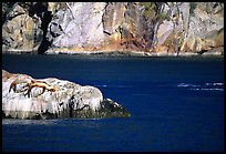
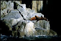
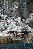
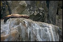
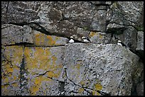
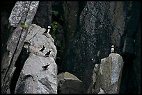
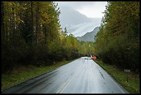
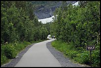
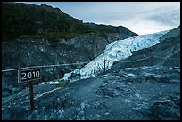
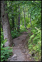
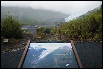
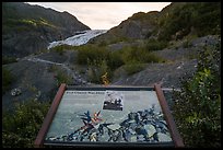
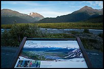
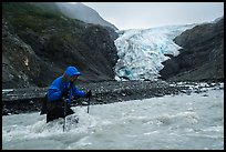
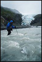
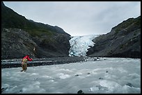
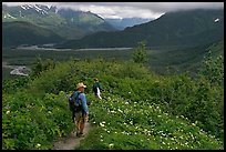
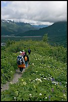
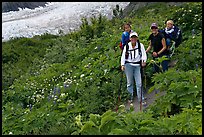
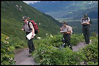
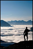
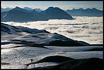
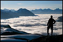
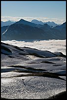
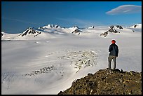
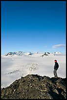
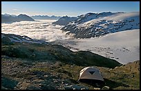
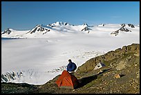
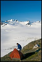
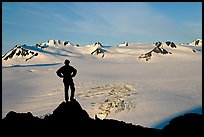
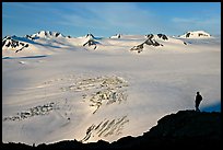
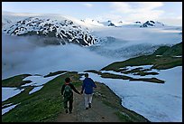
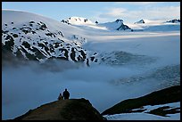
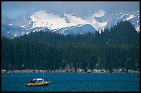
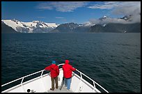
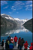
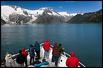
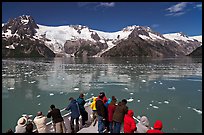
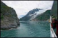
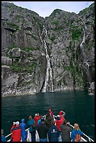
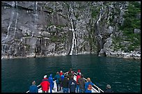
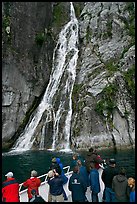
Only one small section of the park can be reached by the road, the Exit glacier. The short trail to the bottom of the glacier is one of the best places in the world to witness glacial retreat. On each of my four park visits spanning the years 2000 to 2016, the glacier's front occupied a significantly different position. Although I hiked the longer trail along the glacier to the Harding field from which it spills, I found that the best way to judge the immensity of that icefield is to see it from a scenic flight, which I have done from an airplane and from an helicopter. On the cruise up the fjords I got a glimpse of the abundant shorebirds and marine life, as well as a few tidewater glaciers.
[CLICK on any picture to see a larger image and details, to add to selection, to order, and to download wallpaper.]

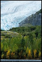
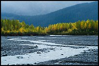
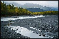
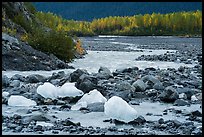

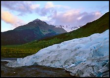


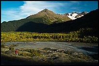


Themes: Kenai Fjords Autumn
Places: Kenai Peninsula