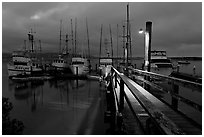
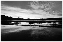
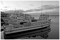
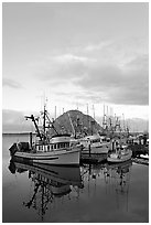
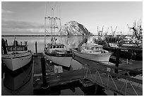
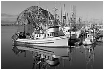
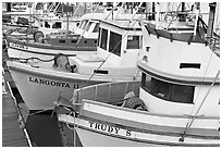
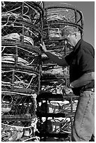
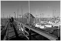
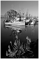
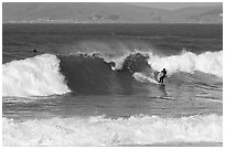
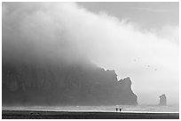
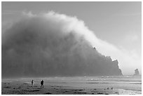
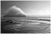
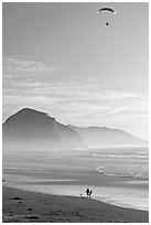
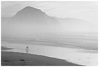
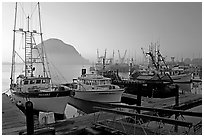
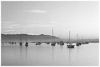
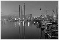
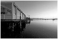
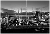
Morro Bay combines tourist-oriented businesses and a working fishing port on its attractive waterfront. The most striking feature of Morro Bay is Morro Rock, a 576-feet (176-meter) high volcanic plug that you can see for dozens of miles. Morro Rock was first sighted in 1542 by Juan Rodriguez Cabrillo, who called it "El Morro," which means "The Nose" in Spanish. A causeway built at the same time as the harbor (the only between Santa Barbara and Monterey), connects Morro Rock to the shore.
[CLICK on any picture to see a larger image and details, to add to selection, to order, and to download wallpaper.]
There are 24 black and white pictures on this page out of 70 black and white pictures of Morro Bay.