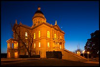
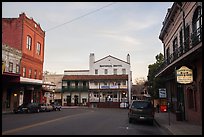
Placerville
(14 images) larger
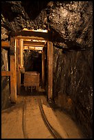
Jackson and Hwy 88
(20 images) larger
Hwy 120 & Hwy 140
(17 images) larger
El Portal Hills
(17 images) larger
Carson Pass
(25 images) larger
Giant Sequoia NM
(133 images) larger
Tehachapi & Keene
(14 images) larger
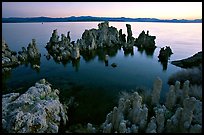
North East Sierra
(12 images) larger
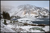
Tioga Pass to Lundy Canyon
(24 images) larger

Devils Postpile NM
(5 images) larger
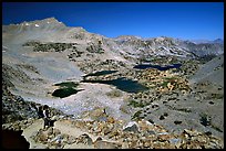
Southern Sierra Nevada
(29 images) larger
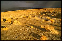
Owens Valley
(26 images) larger
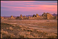
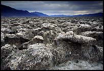
Trona Pinnacles
(7 images) larger
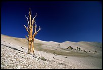
White Mountains
(15 images) larger