Mekong Delta
Black and White pictures by QT Luong
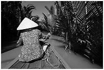
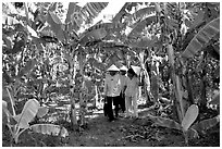
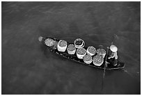
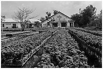
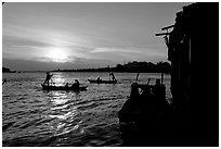
The Mekong Delta, at the south end of Vietnam is a vast and low plain, divided by the "Nine Dragons", the arms of the mighty Mekong River. The country most fertile soil is formed by alluvions and sediments deposited by the great river. The prosperous Mekong Delta produces close to half the agricultural production of the country, with only 12% of its superficy. The Mekong Delta is a world of rice fields, orchards, arroyos, and canals, where water and earth are intrically interlaced, where in many places a boat is the most convenient way of transportation, where many people live on the water, depend on the water for fish and rice, and perform functions such as shopping and eating on the water in the famed floating markets. The insularity of the Mekong Delta has made it a refuge for minority religions such as the curious indigenous Cao Dai religion, the Muslim faith of the descendants of the Cham people, the Theravada Buddhism of the Khmer people, not to mention the Coconut Monk sect.