terragalleria.com · the photography of QT Luong
Home / [ Aerial Views   Rivers   ] / River Aerial View
 

previous

River Aerial View

River Aerial View : 33 images

Page 2 of 2 Previous       

[ For a large image and details: click on photo to stay in current window, click on photo ID to open new window.]

Aerial view of estuary and snowy peak. Lake Clark National Park, Alaska, USA. Aerial view of Mile High Cliffs and Chizina River. Wrangell-St Elias National Park, Alaska, USA. Aerial view of river and estuary. Lake Clark National Park, Alaska, USA. Aerial view of vast landscape of meandering Alatna river and mountains. Gates of the Arctic National Park, Alaska, USA. Aerial view of river braids. Wrangell-St Elias National Park, Alaska, USA. Aerial view of meandering river and mountains. Gates of the Arctic National Park, Alaska, USA. Aerial view of verdant river valley. Wrangell-St Elias National Park, Alaska, USA. Aerial meandering river in rainforest near Cape Tribulation. Queensland, Australia Aerial view of Thames River and Houses of Parliament at dusk. London, England, United Kingdom Aerial meandering river in rainforest and beach near Cape Tribulation. Queensland, Australia Aerial view of braided river plain. Wrangell-St Elias National Park, Alaska, USA. Aerial view of Granite Creek. Wrangell-St Elias National Park, Alaska, USA. Tundra and marshes seen during the flight. Alaska

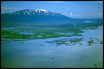
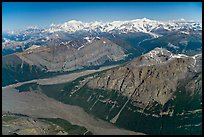
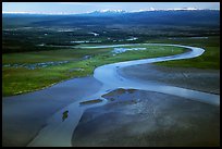
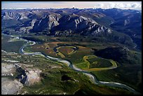
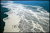
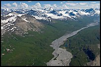
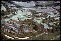
There are 13 photos on this page out of 33 photos of River Aerial View , available as stock photography and limited edition prints.

Start full-screen slideshow or Cooliris First
Previous   1 2