terragalleria.com · the photography of QT Luong
Home / [ Aerial Views   Coastlines   ] / Aerial View Coastline
 

Aerial View Coastline

Aerial View Coastline : 20 images

Page 1 of 1                

[ For a large image and details: click on photo to stay in current window, click on photo ID to open new window.]

Aerial view of the East end of the Na Pali Coast, with Kee Beach. Kauai island, Hawaii, USA Aerial view of the wild South coast of Tau Island. National Park of American Samoa Aerial view of the East end of the Na Pali Coast, with Kee Beach. Kauai island, Hawaii, USA Aerial view of city and bay. Honolulu, Oahu island, Hawaii, USA Aerial view of surf and rock. San Mateo County, California, USA Aerial view of Aanuu village. Aunuu Island, American Samoa Aerial view of the coast near Cape Tribulation. Queensland, Australia Aerial view of surf. Kauai island, Hawaii, USA Aerial meandering river in rainforest and beach near Cape Tribulation. Queensland, Australia Aerial view of the South side of Ofu Island. National Park of American Samoa Aerial view. Maui, Hawaii, USA Aerial view of Cape Tribulation. Queensland, Australia Aerial view of Kotzebue. Kotzebue, North Western Alaska, USA Aerial view of Ofu and Olosega Islands. National Park of American Samoa Aerial view of fluted mountains and surf, Na Pali Coast. Kauai island, Hawaii, USA Aerial view of the South side of Ofu Island. National Park of American Samoa Aerial view of Aanuu island. Aunuu Island, American Samoa Aerial view. Waikiki, Honolulu, Oahu island, Hawaii, USA Aerial view of Port Allen. Kauai island, Hawaii, USA Aerial view of coastline, Na Pali Coast. Kauai island, Hawaii, USA

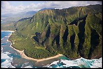
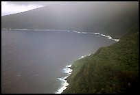
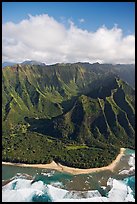
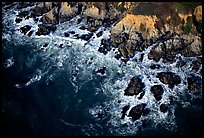
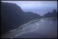
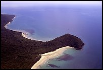
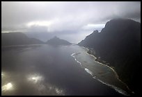
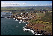
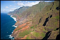
There are 20 pictures on this page out of 20 pictures of Aerial View Coastline, available as stock photos and fine art prints.

Start full-screen slideshow or Cooliris