Maui
Pictures by QT Luong
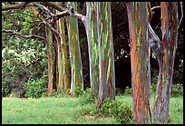
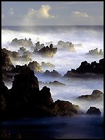
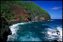
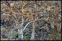
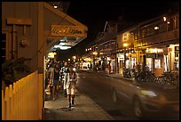
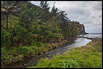
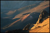
Maui is the second largest and second most developed of the islands. While its West shores is home to historic Lahaina and large resorts, 75% of Maui is still wilderness. At the heart of Maui is Haleakala crater, the largest dormant volcano in the world. Its brown, barren slopes reach up into the clouds, while the valleys below offer a phenomenal array of tropical vegetation. East Maui is reached through the road to Hana, reknown as the most beautiful drive on the Islands. Sometimes called the "narrow escape to paradise", it passes through jungle-clad cliffs and plunging waterfalls, with 600 curves and 54 bridges. By contrast, the south shore of Maui, baren and desolate, dominated by lava flows and grasslands, sees relatively little traffic on its narrow road.