Kailua-Kona
(41 images) larger
Kona Coast
(28 images) larger
South Point and Punaluu
(38 images) larger
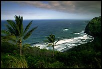
Hilo Coast
(24 images) larger
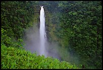
Akaka Falls State Park
(23 images)
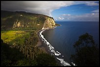
Waipio Valley
(27 images) larger
Misc Big Island
(12 images) larger
Themes: Big Island Hawaii Beach, Hawaii Black Sand Beaches, Ka Lea, Kaloko-Honokohau National Historical Park, Puuhonua O Honauau National Historical Park, Puukohola Heiau National Historic Site
All text and photos © QT Luong. See conditions for use of images.