Santa Barbara
(70 images) larger
Tehachapi Mountains
(20 images) larger
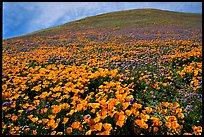
Antelope Valley
(58 images)
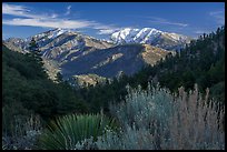
San Gabriel Mountains National Monument
(156 images) larger
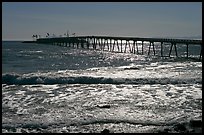
Ventura coast
(13 images) larger
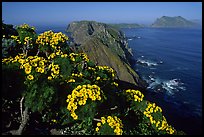
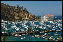
Catalina Island
(51 images) larger
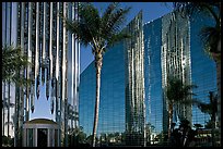
Garden Grove
(22 images) larger
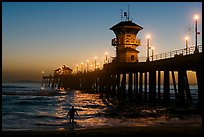
Huntington Beach
(19 images) larger
Newport Beach
(16 images) larger
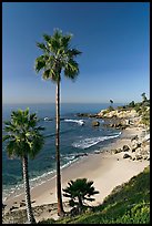
Laguna Beach
(40 images) larger
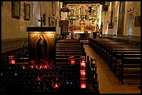
San Juan Capistrano
(38 images) larger
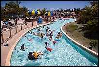
Oceanside and Carslbad
(15 images) larger
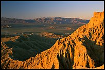
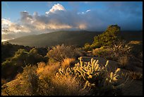
Anza Borrego Desert
(21 images) larger
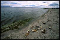
Salton Sea
(12 images) larger
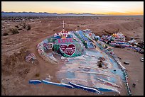
Salvation Mountain
(18 images) larger

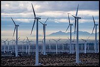
Coachella Valley
(24 images) larger
Sand to Snow National Monument
(134 images) larger
Mojave Trails National Monument
(152 images) larger
Mojave National Preserve
(57 images) larger
Castle Mountains National Monument
(26 images) larger
Misc California Desert Locations
(22 images) larger
Themes: Orange County
All text and photos © QT Luong. See conditions for use of images.
[All images]
Southern California